
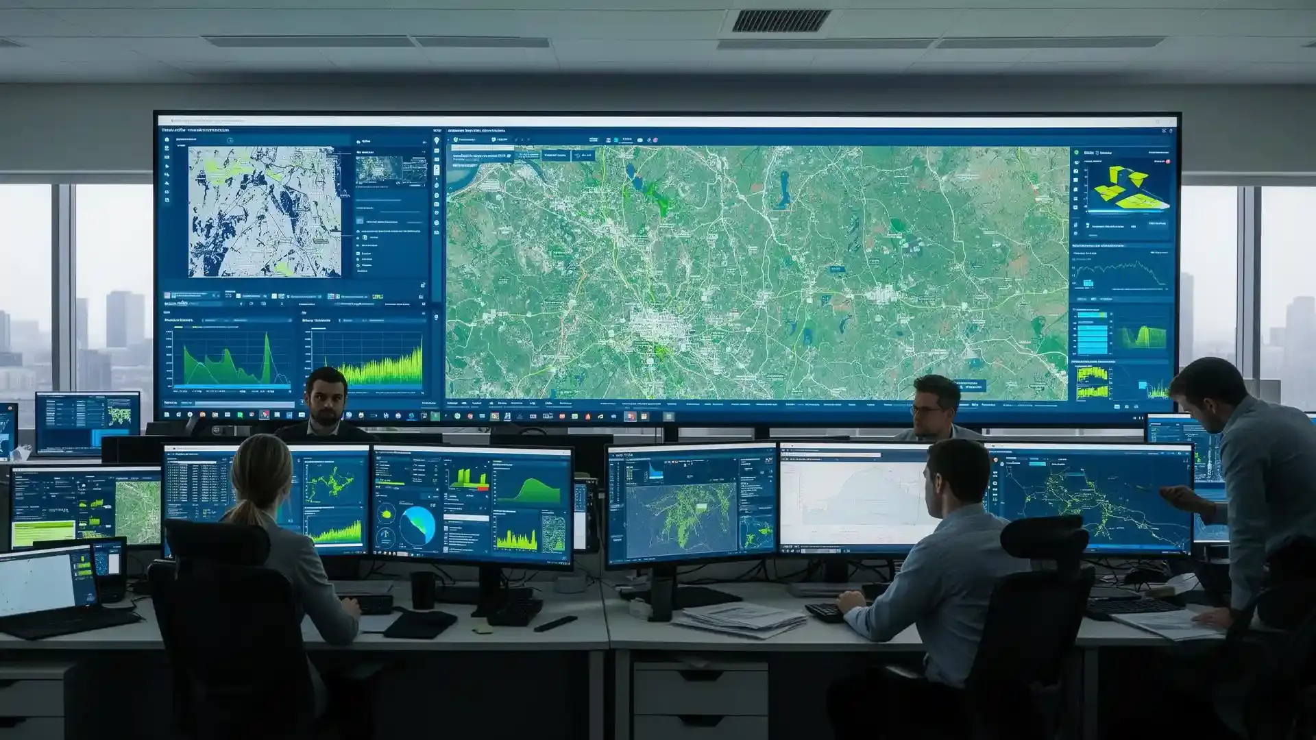
Model Setup in 1–2 Weeks
Civil 3D / Revit / Navisworks
Survey-to-Model Continuity
BIM & Civil 3D Coordination
Digital Site Models, Clash Detection & Quantities
Survey points, borings, utilities, and design intent belong in one model — not four incompatible files. We build the Civil 3D and BIM environment that catches conflicts before a contractor finds them in the ground.
- 100% lender approval on Phase I ESAs
- 1-week priority Phase I turnaround
- Fixed-fee, same-day quotes
Free scoping call — fixed-fee quote with the scope locked before we start.
Process
How the data capture runs
Mission planning, capture, processing, deliverables you can use.
- 01
Scope & kickoff
Same-business-day scope, fee range and delivery date.
Request a scope - 02
Mission planning
Control, airspace and accuracy targets agreed up front.
See what's included - 03
Field capture
Survey-grade acquisition with documented control.
When it applies - 04
Processing & deliverables
CAD, GIS layers and point clouds in your working format.
Read the FAQs - 05
Common next step
The work most clients authorize once this closes out.
LiDAR & Drone Mapping - 06
Start the engagement
Send the site details — we scope it and price it.
Start the engagement
What's Included in an Envicon BIM & Civil 3D Engagement
Civil 3D Surface & Corridor Modeling
Existing and proposed surfaces, corridor models, grading design, and earthwork quantity takeoffs built directly from survey and LiDAR deliverables.
Subsurface & Utility Integration
Boring logs, GPR findings, and utility records modeled in three dimensions so foundation, drainage, and excavation design accounts for what is actually below grade.
BIM Coordination & Clash Detection
Federated model assembly across civil, structural, and MEP disciplines with Navisworks clash runs and a tracked resolution log through design completion.
Deliverables & As-Built Model Handover
Machine-control-ready surfaces for contractors, quantity reports for estimating, and an updated as-built model at closeout for long-term facility management.
When 3D Coordination Is Worth It
- A congested urban site with dense existing utilities and tight tolerances
- Phased redevelopment where existing conditions drive the design
- Earthwork quantities materially affect the budget or disposal cost
- Multiple design disciplines are producing conflicting drawing sets
- The contractor will use machine control and needs model-based surfaces
Coordinating a model across disciplines?
Clashes found in the model cost a fraction of the ones found in the field. Send us the existing survey, scan, or design files and we'll tell you what it takes to get a coordinated Civil 3D or BIM deliverable your whole team can build from.
Our Work
BIM & Civil 3D Past Performance
Representative projects from our NY/NJ portfolio.
structural
transportation
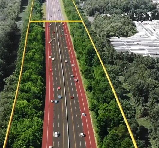
NJ Turnpike Interchange 1-4 Capacity Enhancements
New Jersey
Senior Bridge Design & Structural lead for Sections 6 and 7 of a $4.3B NJTA capital expansion program, involving 17 bridge replacements and major roadway structures.
View Case Study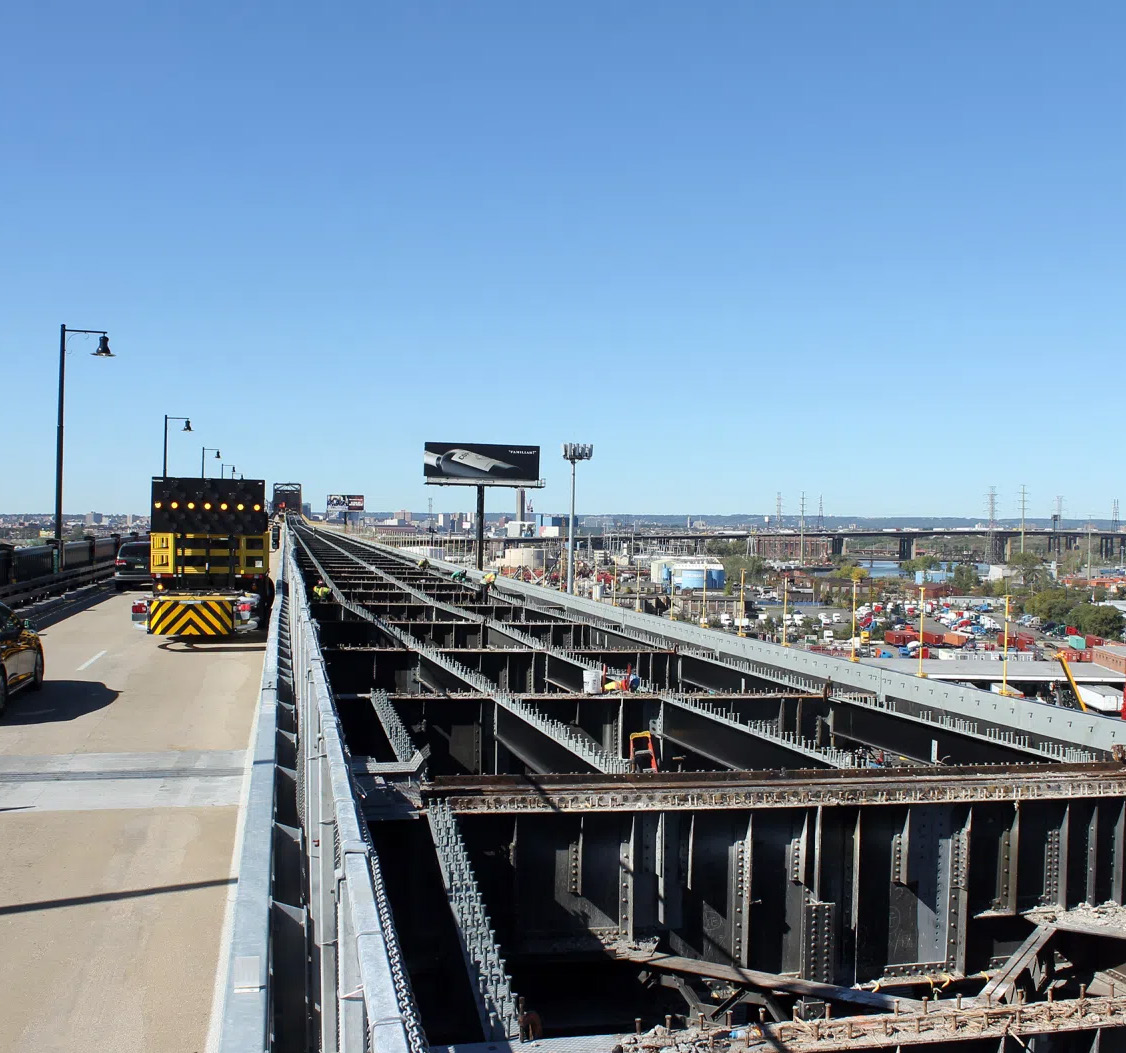
structural
transportation
Pulaski Skyway Rehabilitation
Newark/Jersey City, NJ
Design and construction support for NJDOT's $500 million rehabilitation of the historic Pulaski Skyway, including rocker-bent repairs and seismic retrofits.
View Case Study
structural
transportation
Newark Liberty Airport Terminal & Bridge Expansion
Newark, NJ
Geotechnical investigations and foundation design support for major terminal and bridge expansion at Newark Liberty International Airport.
View Case StudyService inquiry form
Request a BIM & Civil 3D Quote
Tell us the project, the software your team uses, and what stage the design is in. We'll return a modeling scope.
FAQ
BIM & Civil 3D FAQs
Questions from owners and design teams standing up a coordinated 3D workflow.
Ready to move on BIM & Civil 3D?
Share the survey, scan, or design files you have and we'll scope the coordination work and the deliverable format your team needs.
Related Digital & GIS Services
Projects rarely need one service in isolation. These are the scopes most often paired with this one.
All Digital & GIS servicesCommonly Paired Scopes
Services That Work Alongside BIM & Civil 3D Coordination
Scopes our clients most often add to keep one schedule, one regulator conversation, and one point of accountability.
LiDAR & Drone MappingDigital & GISDrone aerial surveys, LiDAR 3D site modeling, and GIS integration for site analytics.Construction ManagementCivil & GeotechnicalOwner-side construction management, resident engineering, cost and schedule control, and closeout documentation.Civil Engineering New YorkCivil & GeotechnicalNew York City and State civil engineering — site, stormwater, and geotechnical design.
Related Work
BIM & Civil 3D Projects in the NY/NJ Metro
Case studies matched to this scope by the services delivered, the site conditions, and the market the work was performed in.
Industries We Serve
Industries That Rely on BIM & Civil 3D Coordination
See how teams across these sectors integrate bim & civil 3d coordination into their projects, with regulator-ready deliverables and predictable timelines.
Architects
We provide the environmental and geotechnical intelligence architects need to design with confidence, from site analysis through construction.
Explore industry
Contractors
From pre-bid geotechnical data to construction-phase environmental monitoring, we help contractors deliver projects on time and within compliance.
Explore industry
Public Agencies
From on-call task orders to major capital projects, we help municipalities and public agencies deliver infrastructure that serves communities.
Explore industry
Developers
We understand your timeline pressures. Get Phase I ESAs that pass lender scrutiny the first time, with 1-week turnaround when you need it.
Explore industry
Institutional
Hospitals, universities, and nonprofits face unique environmental challenges. We help you protect your community while managing complex property portfolios.
Explore industry
BIM & Civil 3D Coordination Across the NY/NJ Metro Area
Licensed teams working locally — pick your market for regional regulators, turnaround times, and recent project work.