Technology Advantage
Survey, subsurface, environmental, and design data in one coordinated model — so conflicts surface in review, not in the ground.
- 100% lender approval on Phase I ESAs
- 1-week priority Phase I turnaround
- Fixed-fee, same-day quotes
Free scoping call — fixed-fee quote with the scope locked before we start.
From survey to a buildable, coordinated deliverable
Every project runs the same digital spine. The point is not the software — it is that one dataset carries from field capture through design, construction, and closeout.
- 1
Capture existing conditions
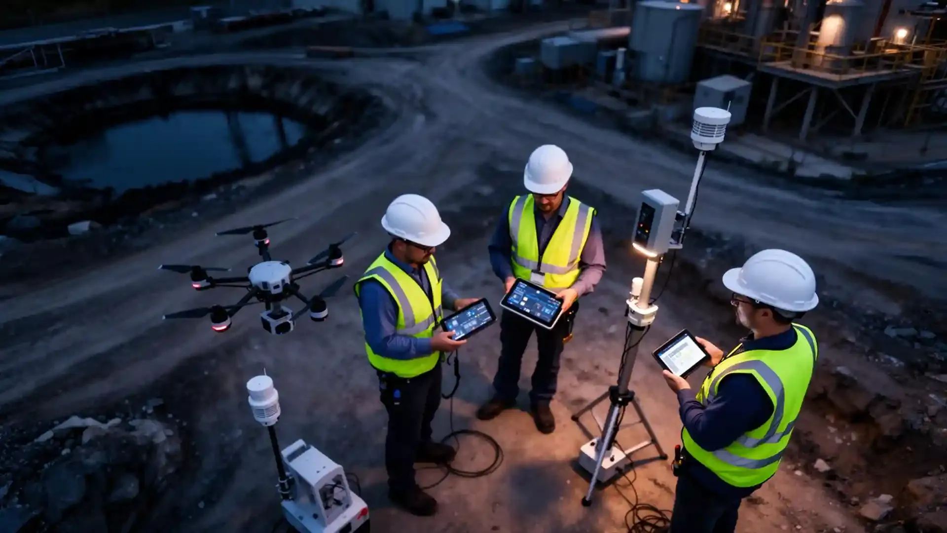
Drone photogrammetry, LiDAR scanning, and conventional survey produce a dense point cloud of what is actually on the site today — grades, structures, pavement, and utility appurtenances.
See the underlying service - 2
Model what's below grade
Boring logs, ground-penetrating radar findings, utility records, and contamination extents are brought into the same coordinate system, so subsurface risk is visible during design instead of during excavation.
See the underlying service - 3
Build the design model
Civil 3D surfaces, corridors, and grading design are built directly off the existing-conditions surface, with earthwork quantities produced from the model rather than estimated from sections.
See the underlying service - 4
Federate and clash-check
Civil, structural, and MEP models are assembled in Navisworks and run for clashes, with a tracked resolution log carried through design completion.
See the underlying service - 5
Deliver and maintain as-builts
Machine-control-ready surfaces for the contractor, quantity reports for estimating, and an updated as-built model at closeout for long-term facility and compliance management.
See the underlying service
Have survey, scan, or legacy 2D files?
Send them over and we'll tell you what it takes to get a coordinated model your whole team can build from.
What it changes on a real project
A utility clash caught in a coordination run costs engineering hours. The same clash found during excavation costs a change order and schedule days.
Cut/fill and disposal volumes come from the surface model, so soil-disposal budgeting starts from measured volumes instead of allowances.
Typical turnaround to stand up a coordinated Civil 3D environment from existing survey, scan, or legacy 2D design files.
Remedy limits, cap boundaries, and engineering controls sit in the same model as the civil design, so excavation planning respects the remedy.
Where the methodology shows up
The same model-first approach runs through our inspection, engineering, and digital services.
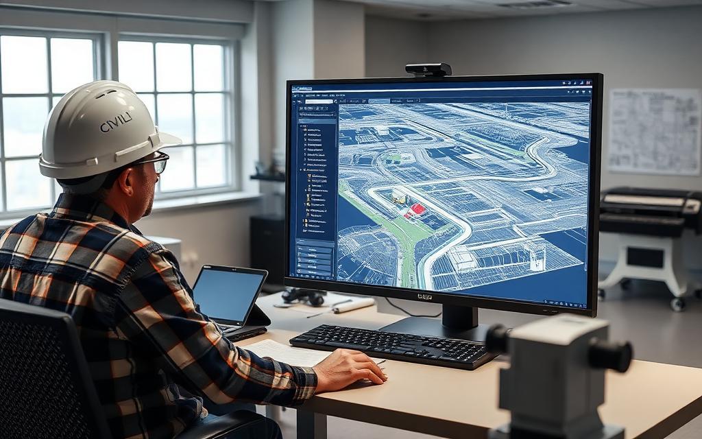
BIM & Civil 3D Coordination
Federated models, clash detection, corridor and grading design, and as-built handover across the full design team.
Explore this service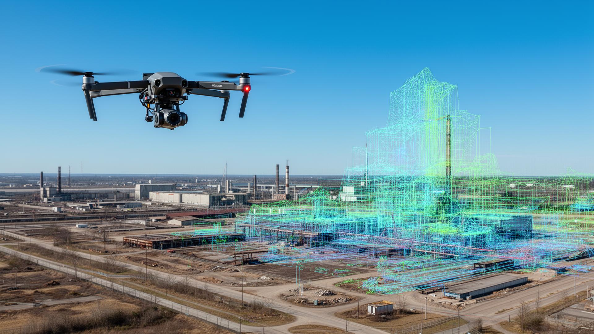
LiDAR & Drone Mapping
Aerial and terrestrial capture that produces the existing-conditions surface every downstream model is built on.
Explore this service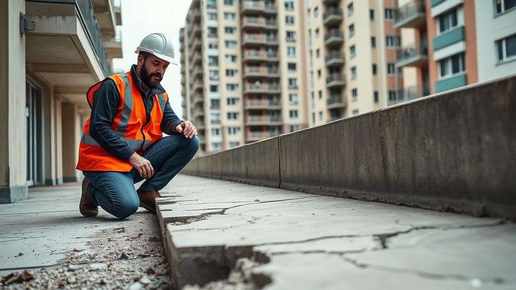
Structural Inspections
Inspection findings recorded against model geometry so condition data ties directly to the element it describes.
Explore this service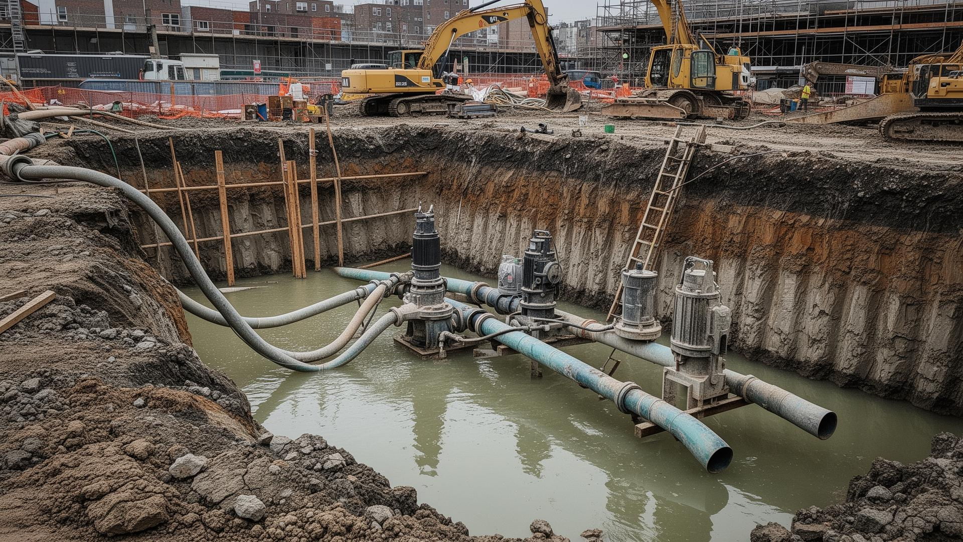
Dewatering Design
Groundwater and excavation staging modeled against the same subsurface dataset used for foundation design.
Explore this service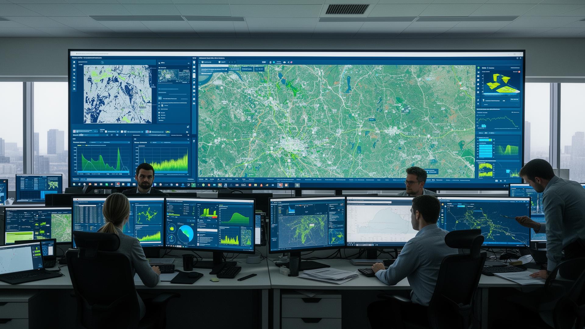
Digital GIS
Portfolio and site data mapped for owners managing multiple properties, permits, and long-term monitoring obligations.
Explore this serviceDigital Solutions Hub
Client portal, AI document analysis, and the interactive tools that surround our engineering deliverables.
Explore this serviceDeliverables your reviewers and contractors can use
- Autodesk Civil 3D, Revit, and Navisworks native files
- IFC exports and machine-control surfaces for contractors
- Point clouds and existing-conditions surfaces from field capture
- Earthwork and quantity reports tied to the model, not to sections
- Tracked clash-resolution logs through design completion
- As-built model handover at closeout for facility management
Service inquiry form
Scope a coordinated model for your project
Tell us the project, the software your team uses, and what stage the design is in. We'll return a modeling scope.
Ready to put your project in one model?
Share the survey, scan, or design files you have and we'll scope the coordination work and the deliverable format your team needs.