Technology & Data
Environmental Data Dashboard Blueprint
GIS & Analytics Setup Guide
Framework for building effective environmental monitoring dashboards and GIS systems.
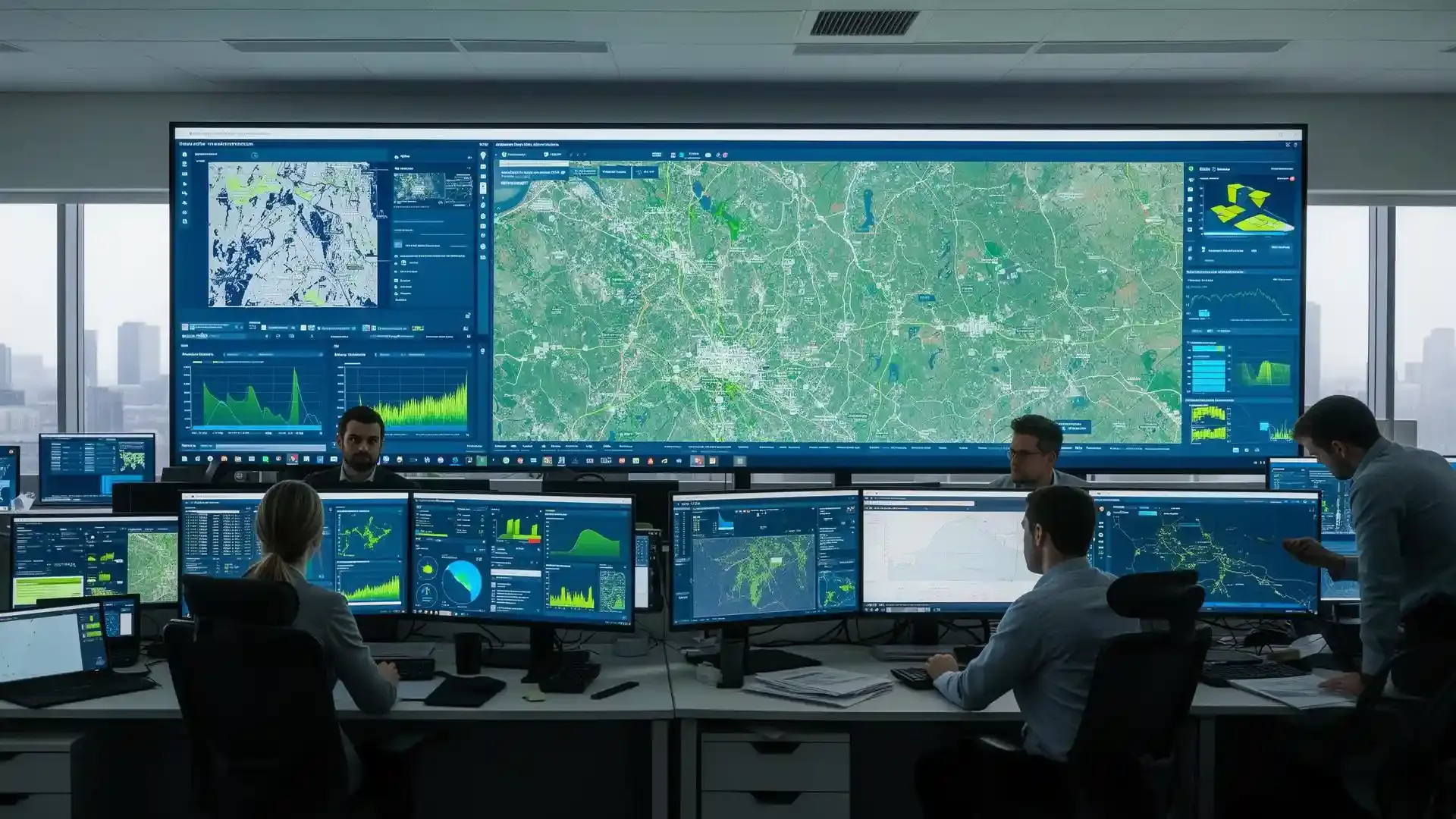
Transform environmental data into actionable insights with custom dashboards, GIS mapping, and analytics that drive better project decisions.
Mission planning, capture, processing, deliverables you can use.
Same-business-day scope, fee range and delivery date.
Request a scopeCAD, GIS layers and point clouds in your working format.
Read the FAQsThe work most clients authorize once this closes out.
LiDAR & Drone MappingSend the site details — we scope it and price it.
Start the engagementCustom dashboards that track compliance, project progress, and environmental metrics.
Risk modeling and site scoring to prioritize actions and allocate resources.
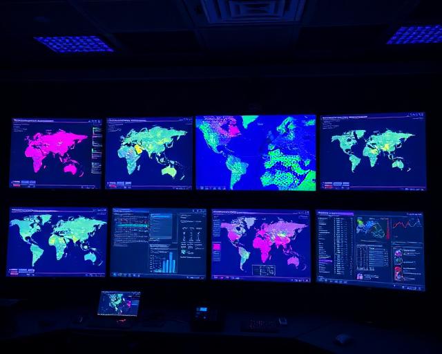
GIS-based analysis that reveals patterns and informs site-specific decisions.
Technology solutions that enhance environmental management, asset tracking, and project delivery across your organization.
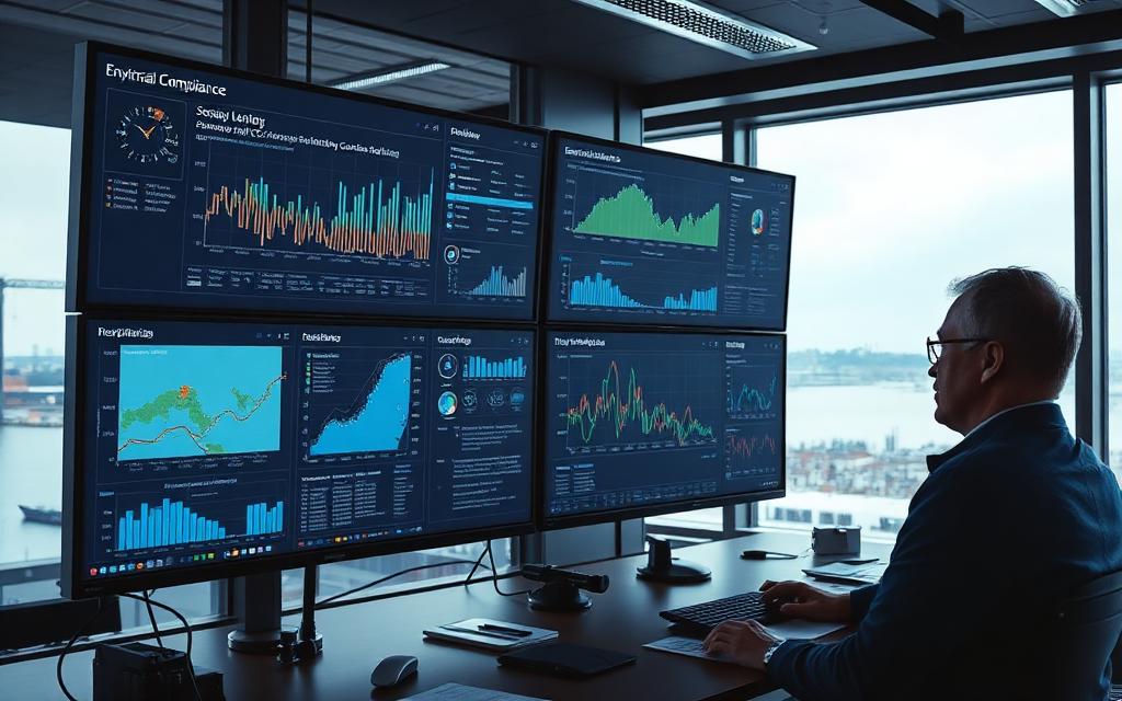
Custom monitoring dashboards that track sampling results, compliance status, and remediation progress.
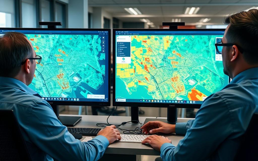
Site scoring algorithms and risk models that prioritize investigation and remediation efforts.
Spatial databases for infrastructure, environmental features, and regulatory boundaries.
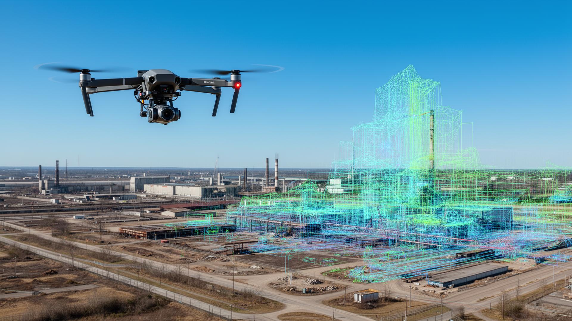
See LiDAR & drone mapping services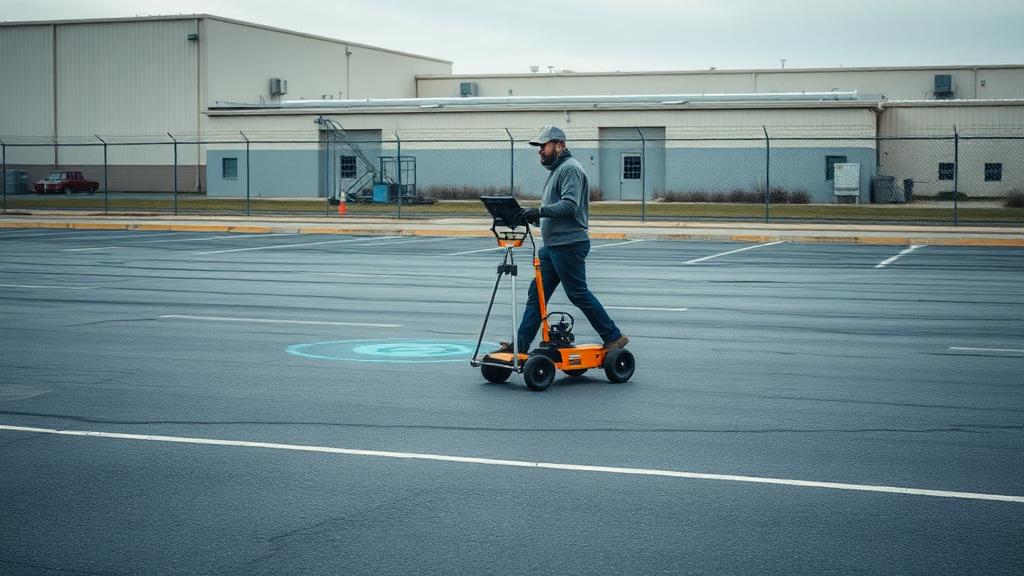
Utility overlays, as-built documentation, and conflict analysis for infrastructure projects.
See GPR utility locating services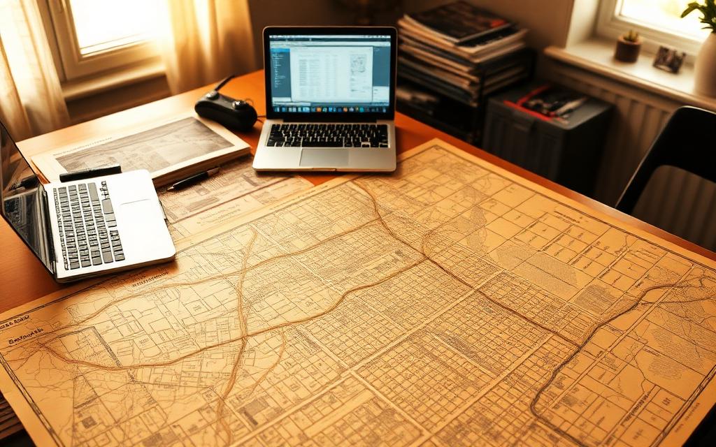
Aerial imagery interpretation, Sanborn maps, and land use evolution studies.

Site redevelopment analysis combining environmental, engineering, and financial data.
Data delivery sequence
Survey, sampling, and historical data consolidated into GIS layers your team can actually query.
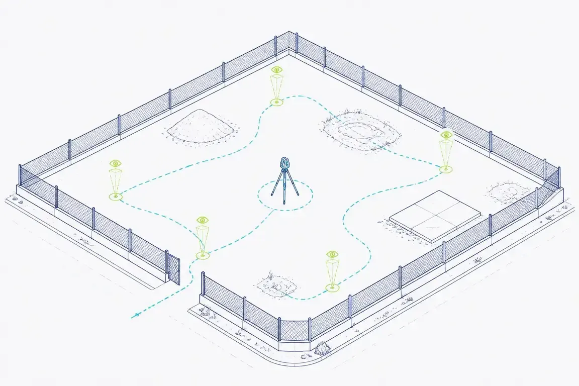
Days 2-5
Field staff walk the site, log conditions, and interview operators so the scope reflects what is actually there.
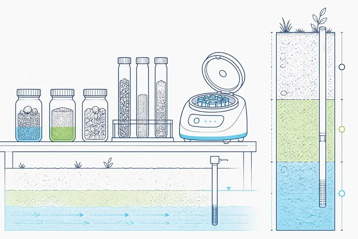
Georeferenced field observations and analytical results captured with consistent attributes.
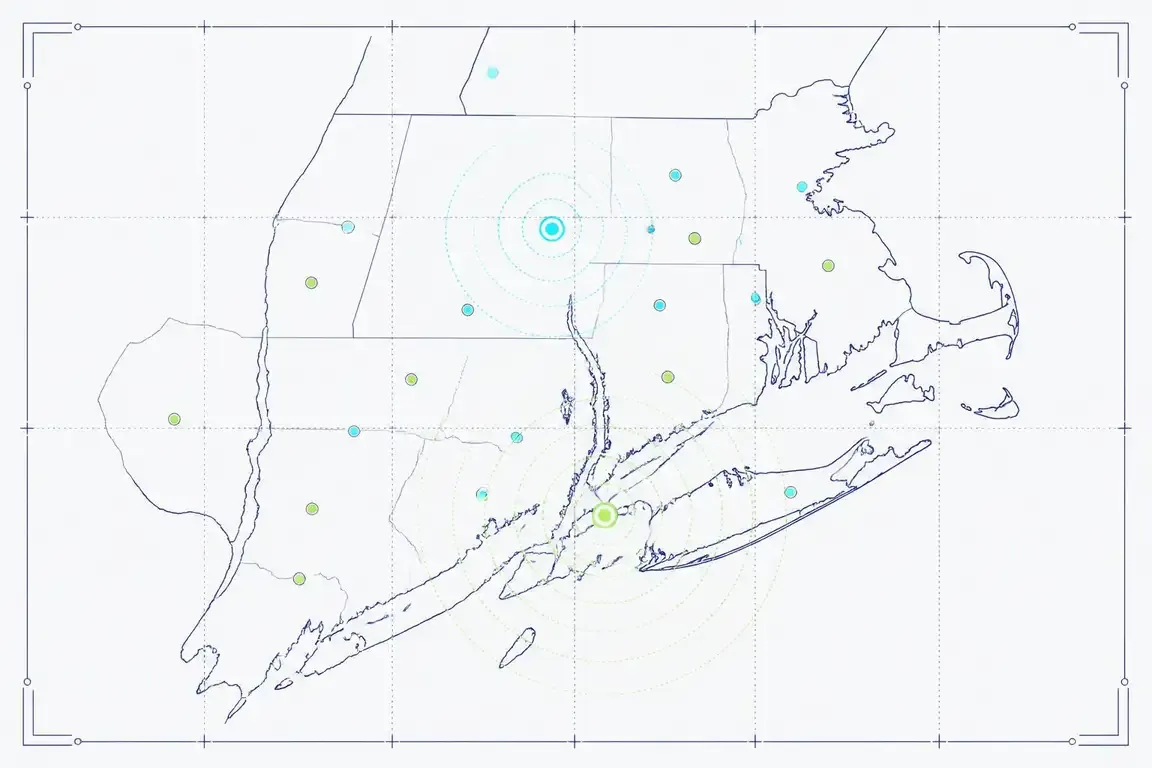
Layers, basemaps, and dashboards assembled so trends and hot spots are visible at a glance.
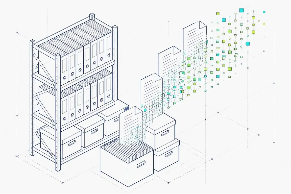
Deliverables handed over in open formats, with hosted access for your consultants and counsel.
Our digital team combines environmental expertise with technology skills to build solutions that address your specific data and visualization needs.
Our digital solutions are built by environmental professionals who understand your data, not generic IT developers learning your industry.
Solutions designed by environmental engineers who understand regulatory requirements.
Dashboards and reports that drive decisions, not just display data.
From single-site tracking to enterprise portfolio management.
Explore our dedicated service for high-accuracy spatial data acquisition and modeling.
See how we've helped clients with similar challenges.

Management of PATH's upgraded security event detection and monitoring system through design, commissioning, and long-term operations planning.
View Case Study
Final phase of a major waterfront park development on Manhattan's Upper West Side, transforming a former rail yard into public recreational facilities including a multi-use sports field, basketball courts, pedestrian pathways, and landscaped open space.
View Case Study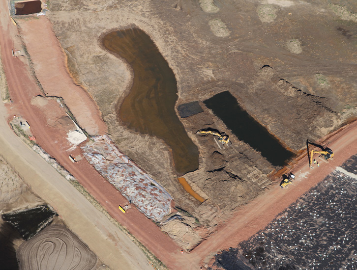
Design and construction QA/QC of a 14-acre geomembrane-lined stormwater detention pond to restore wetland and fish habitat within the 185-acre Former Nuodex Corporation Site.
View Case StudyHear from clients who've partnered with us on similar projects.
"The environmental dashboard Envicon built transformed how we manage our portfolio. Real-time compliance tracking across 30+ sites from a single interface has been game-changing."
"Their GIS analysis of historical aerial imagery uncovered contamination sources the previous consultant missed entirely. The spatial data visualization made our case to the responsible party."
"The predictive risk scoring model Envicon developed helps us prioritize investigations across our property portfolio. We're addressing the highest-risk sites first instead of guessing."
Get answers to common questions about our digital & gis services, turnaround times, and deliverables.
Explore our other integrated engineering and environmental services.

Fast, defensible due diligence for banks, credit unions, and CDFIs. SBA, transaction screens, portfolio reviews, and workout risk opinions delivered to closing timelines.
Learn more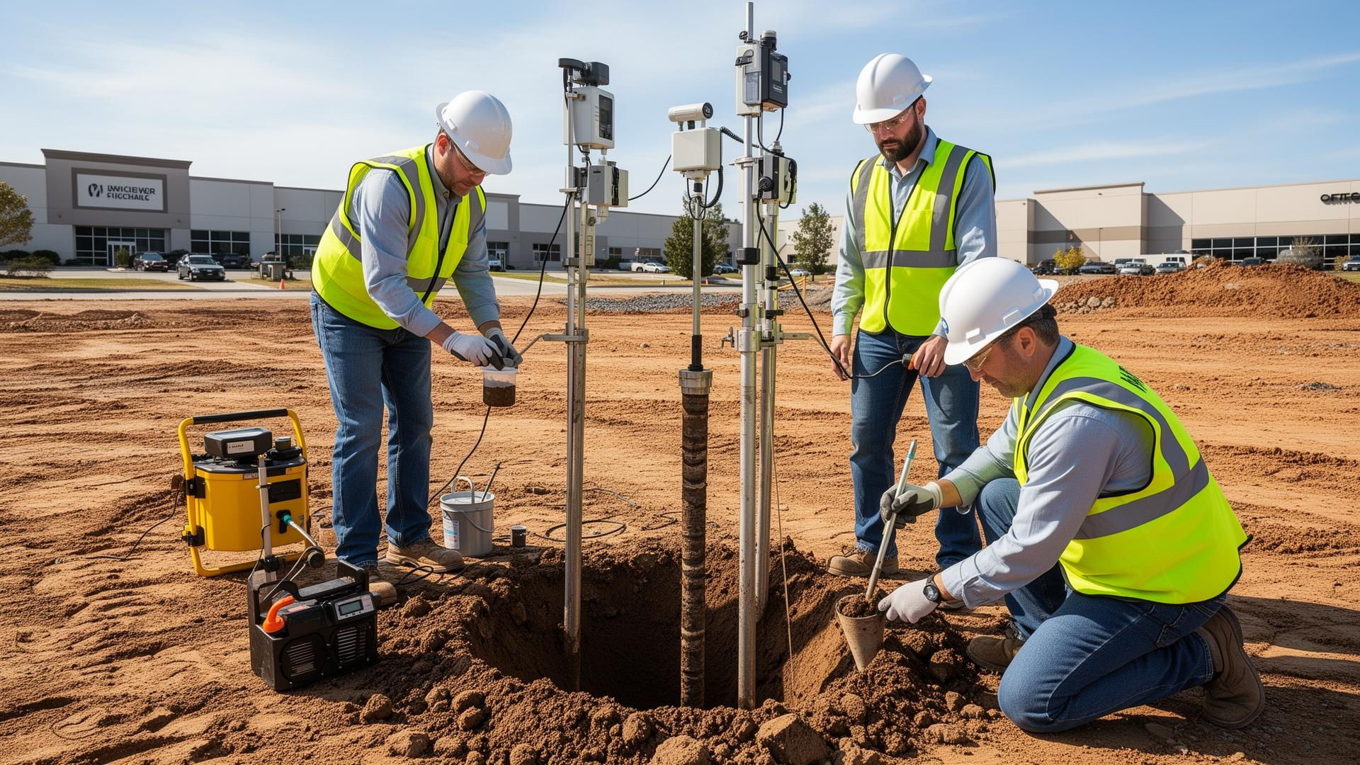
Lender-ready Phase I/II ESAs with 1-week turnaround. Comprehensive due diligence that banks approve the first time.
Learn more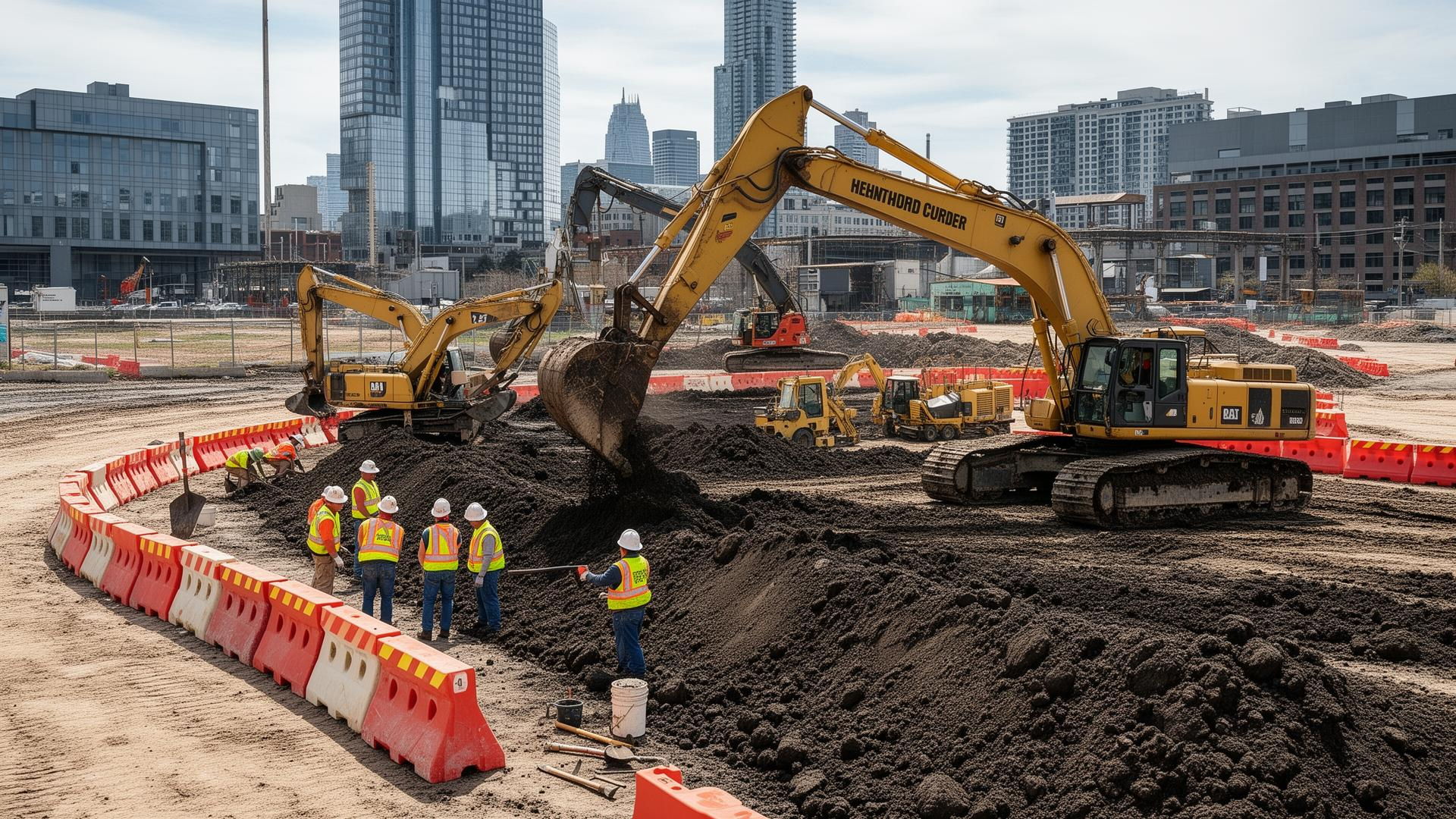
Fast-track site cleanup with rapid turnaround on regulatory submittals. Transform contaminated properties into lender-ready assets.
Learn more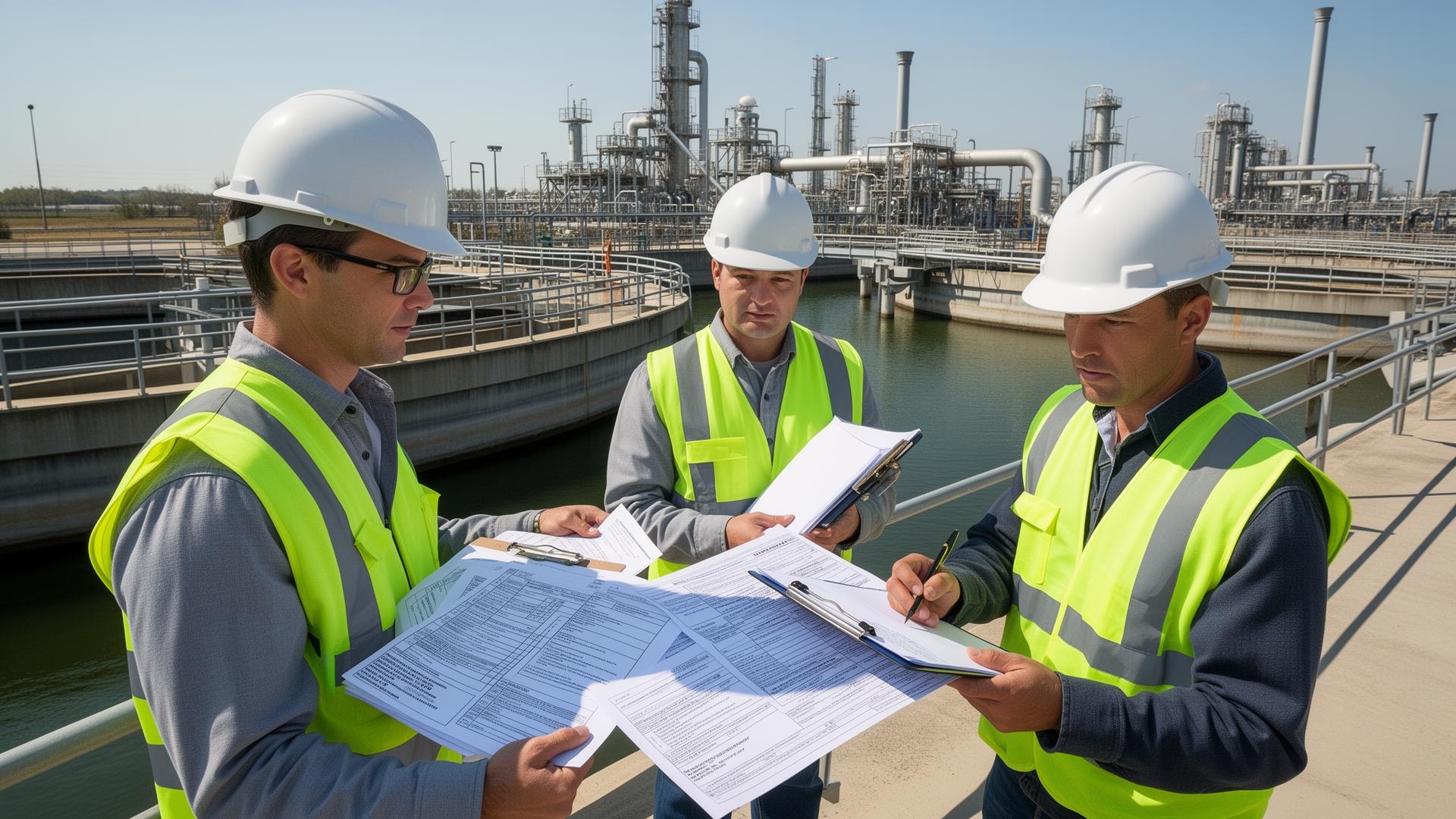
Expedited permit turnaround with multi-agency coordination. Environmental permits and compliance documentation that don't delay your project.
Learn more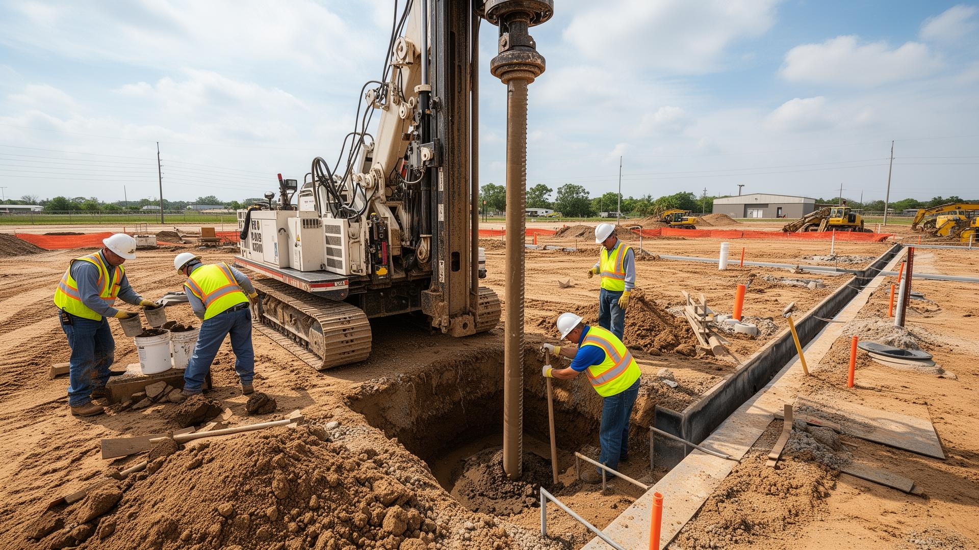
Site development engineering with accelerated turnaround. Lender-ready geotechnical reports and permit-ready civil designs.
Learn more
Owner's representation with rapid response turnaround. Expert guidance that keeps your project lender-ready and on schedule.
Learn moreAnswer a few questions about your property and get a real price range in under 2 minutes. No sales call required.
Preliminary estimate only. Not an engineering quote.
Tell us about your property and we'll respond with a tailored scope and pricing within 2 business hours.
Practical guides and checklists you can put to work today. Each download is delivered to your inbox.
GIS & Analytics Setup Guide
Framework for building effective environmental monitoring dashboards and GIS systems.
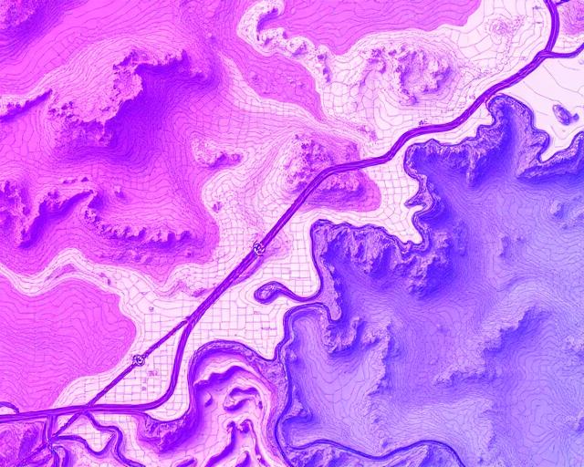
Environmental Data Management
Best practices for organizing, storing, and visualizing environmental and geospatial data.
GIS & Analytics Setup Guide
Framework for building effective environmental monitoring dashboards and GIS systems.
Learn more about this service from our experts
See how teams across these sectors integrate digital solutions, gis & analytics into their projects, with regulator-ready deliverables and predictable timelines.

From on-call task orders to major capital projects, we help municipalities and public agencies deliver infrastructure that serves communities.
Explore industry
From capital improvement projects to regulatory compliance, we help utilities deliver reliable service while meeting environmental obligations.
Explore industry
From pre-bid geotechnical data to construction-phase environmental monitoring, we help contractors deliver projects on time and within compliance.
Explore industry
We provide the environmental and geotechnical intelligence architects need to design with confidence, from site analysis through construction.
Explore industry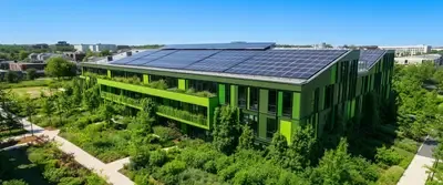
From ESG due diligence to green remediation strategies, we help organizations meet sustainability goals with measurable environmental outcomes.
Explore industryLicensed teams working locally — pick your market for regional regulators, turnaround times, and recent project work.