
Digital, GIS & Data
4 expert articles on digital, gis & data from Envicon Group's NY and NJ environmental engineers.
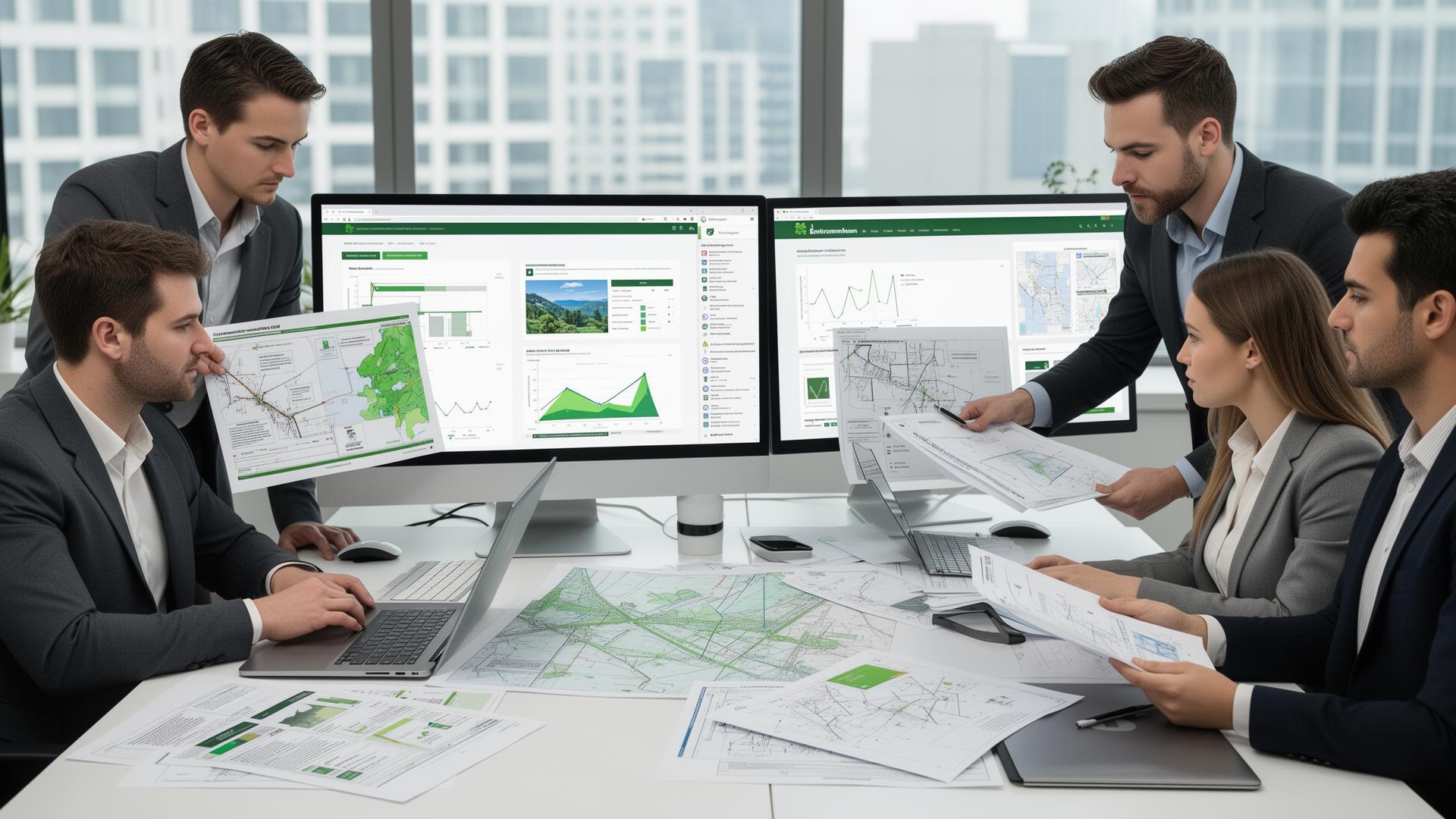
The Data Advantage: Why Our Real-Time Dashboards Beat Your Consultant’s Monthly PDF
Look, we’ve all been there. It’s the middle of the month, your lender is breathing down your neck for a status update on the remediation, and you’re staring at a PDF report that was sent three weeks ago. That report is a static snapshot of a site that doesn’t exist anymore. The soil has been […]

The Digital Twin of Your Jobsite: How Modern Software Eliminates Change Orders
If you’ve spent five minutes on a construction site in New Jersey or New York, you know the sound of money burning. It’s the sound of an excavator idling while a foreman stares at a utility line that wasn't on the plans. It’s the sound of a "revision" email hitting your inbox at 4:30 PM […]

AI-Driven Data Analysis: How Envicon Predicts Subsurface Risks Before the First Boring
In the world of NYC and NJ real estate development, "surprise" is a four-letter word. You’ve seen it happen: a project is moving full steam ahead until the drilling rig hits an unregistered Underground Storage Tank (UST) or a plume of chlorinated solvents that wasn't on the old Sanborn maps. Suddenly, your timeline is shot, […]
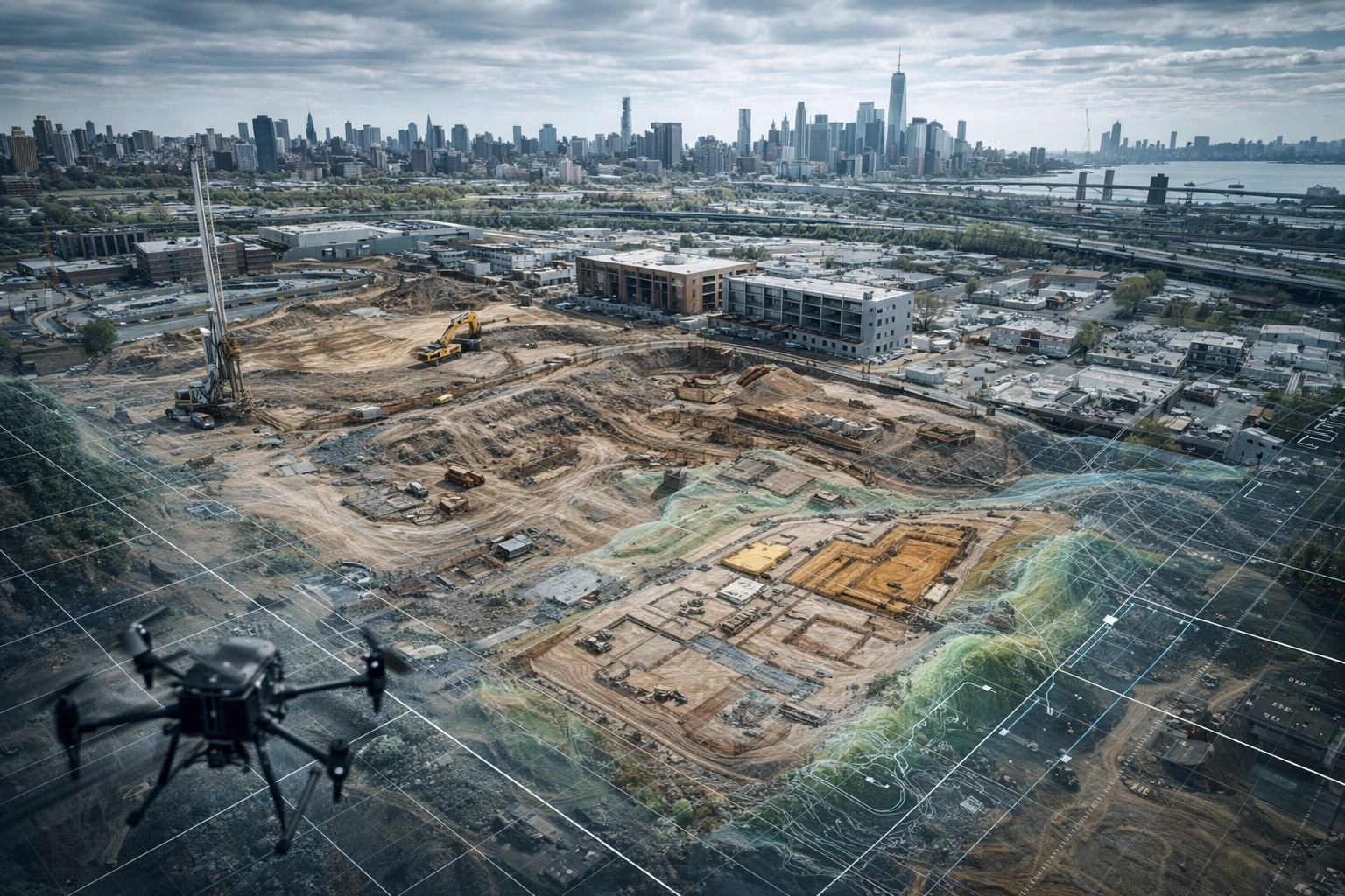
Drone Mapping & High-Res Site Modeling: Visualizing Your Path to a Buildable Site
In the high-stakes world of New York and New Jersey real estate development, the distance between an "underutilized property" and a "buildable site" is often measured in months of regulatory hurdles, unforeseen site conditions, and engineering bottlenecks. For years, the industry relied on static 2D surveys and manual site inspections: processes that were inherently slow […]