In the world of NYC and NJ real estate development, "surprise" is a four-letter word. You’ve seen it happen: a project is moving full steam ahead until the drilling rig hits an unregistered Underground Storage Tank (UST) or a plume of chlorinated solvents that wasn't on the old Sanborn maps. Suddenly, your timeline is shot, your lender is breathing down your neck, and your "big box" consultant is asking for another $15k and three weeks to "study the problem."
At Envicon Group, we think that’s a broken way to do business. We don’t believe in "drilling and praying."
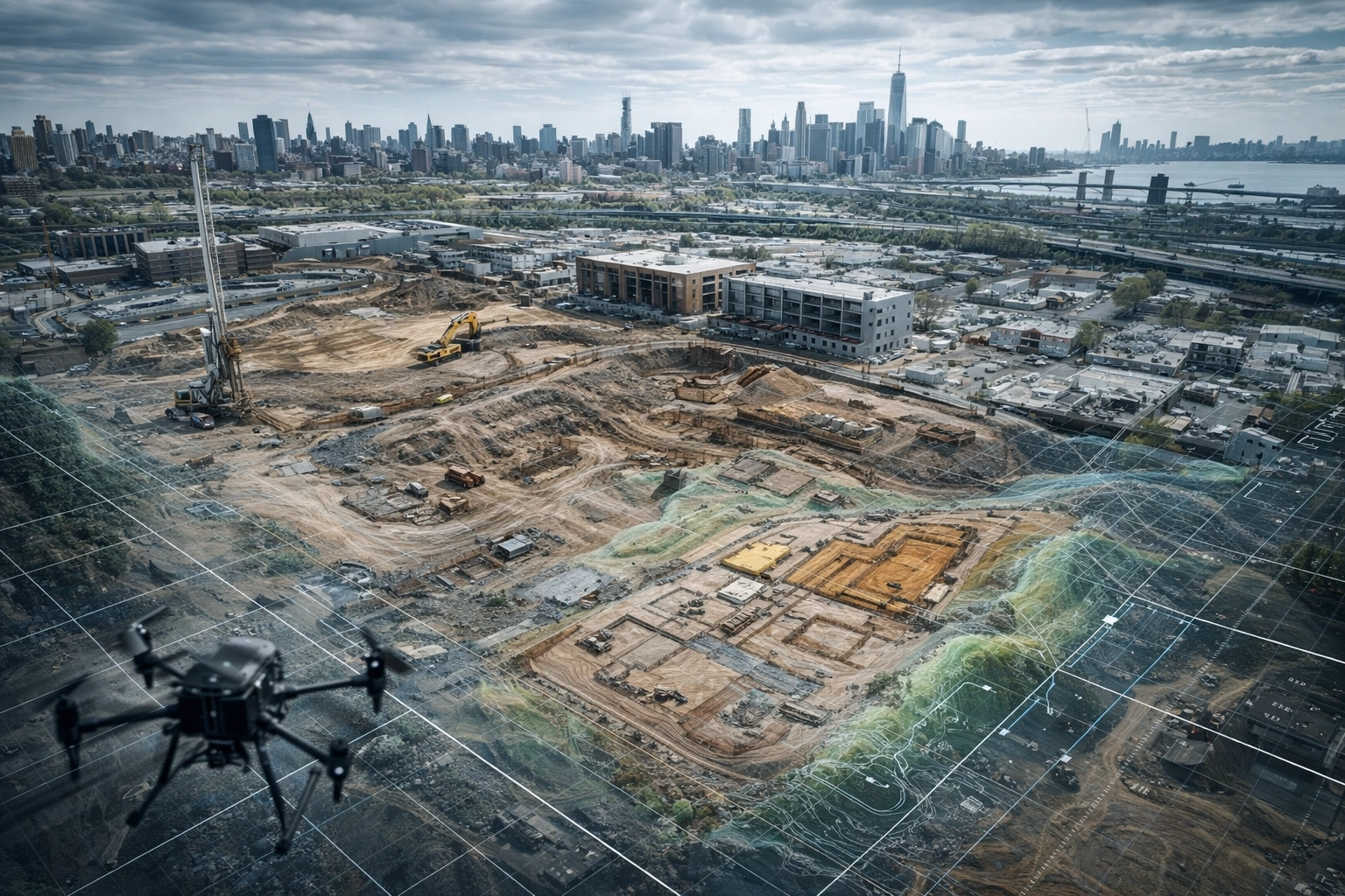
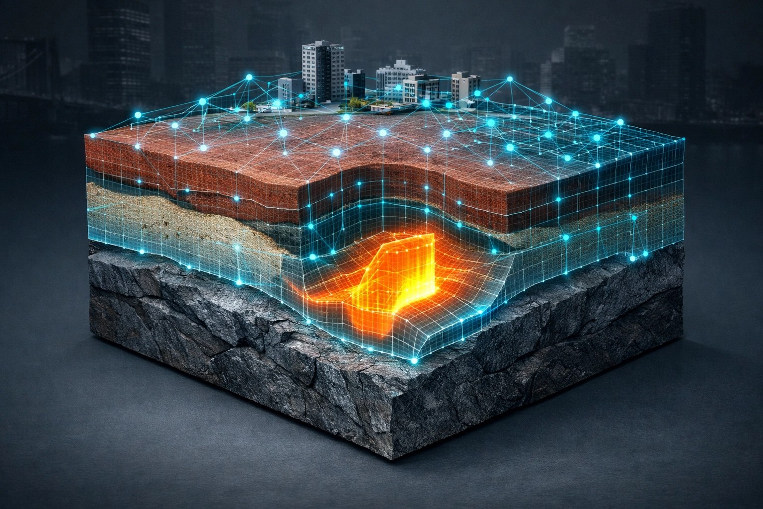
Before we even mobilize a rig to your site, we’ve already mapped the invisible. By leveraging AI-driven data analysis and high-resolution geospatial modeling, we predict subsurface risks with surgical precision. We’re moving the industry away from the slow, manual "old-school" methods and into a visionary future where data clears the path to development before the first shovel hits the dirt.
The Blind Spot of Traditional Consulting
For decades, environmental consulting has relied on a slow, linear process. You hire a firm, they order a database search, a junior staffer spends a week squinting at grainy 1950s aerial photos, and eventually, you get a Phase I ESA that says, "We might need to look deeper."
The problem? Most of those reports are written defensively. They aren't designed to help you build; they’re designed to protect the consultant’s liability. They leave you with a list of "Recognized Environmental Conditions" (RECs) but no real sense of the financial or temporal risk they represent.
In the high-stakes markets of Hudson County, NJ, or the five boroughs of NYC, that delay is a deal-killer. While the national firms are still waiting for their internal "quality control" department to sign off on a memo, the interest on your bridge loan is ticking.
Predictive Analytics: Seeing Through the Concrete
We’ve flipped the script. We use AI to ingest massive datasets: historical boring logs, regional groundwater flow models, NYSDEC and NJDEP spill records, and localized soil topography: to build a predictive model of your site.
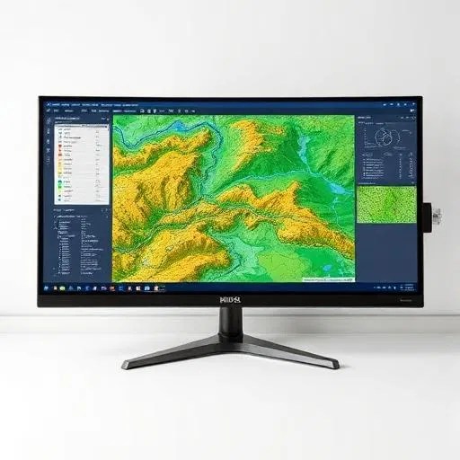
Instead of looking at a site in isolation, our AI-driven approach looks at it as part of a dynamic system. If the property three blocks over had a dry cleaner in 1974, our algorithms calculate the probability of vapor intrusion on your site based on soil composition and hydraulic gradients specific to that neighborhood.
This isn't just "tech for tech's sake." It’s about precision. By identifying "hot zones" digitally, we can target our Phase II investigations with 95% accuracy. We aren't guessing where the plume is; we’re confirming what the data already told us.
The 72-Hour Edge: Speed Without Compromise
In this business, speed is a competitive advantage. If you’re bidding on a property in Long Island City or Newark, you don’t have thirty days for a feasibility study. You have a weekend.
We’ve optimized our internal data pipeline to deliver actionable subsurface risk assessments within 72 hours when necessary. This is where we separate ourselves from the pack. While the big-box firms are struggling with their own bureaucracy, we’re handing you a cleared path.
Our AI doesn't sleep. It processes GIS layers and historical data overnight, allowing our senior PEs to review the findings and give you a "Go/No-Go" answer while your competitors are still waiting for a callback. We sell urgency because we know that in development, time is literally money.
Why NYC and NJ Demand a Different Approach
Environmental consulting in the New York metropolitan area isn't like consulting in the Midwest. We’re dealing with a century of industrial legacy, complex regulatory bodies like the NYC OER and the NJDEP, and some of the most challenging geology in the country.
Our AI models are specifically tuned for the Tri-State area. We’ve fed them the "Institutional Controls" and "Engineering Controls" data from thousands of local projects. This means our predictions account for:
- Fill Material Complexity: Distinguishing between "historic fill" and localized contamination.
- Perched Water Tables: Predicting how shallow groundwater might impact your foundation and drainage plans.
- Regulatory Sensitivity: Identifying how specific agencies: be it the NYSDEC or NYC Parks: are likely to respond to certain contaminants.
We aren't just giving you data; we’re giving you an industry insider's roadmap through the regulatory gauntlet.
Predicting the Unpredictable: USTs and Hidden Infrastructure
The biggest nightmare for any developer is the "hidden" tank. Even the best Phase I can miss a UST if it wasn't properly registered 50 years ago.
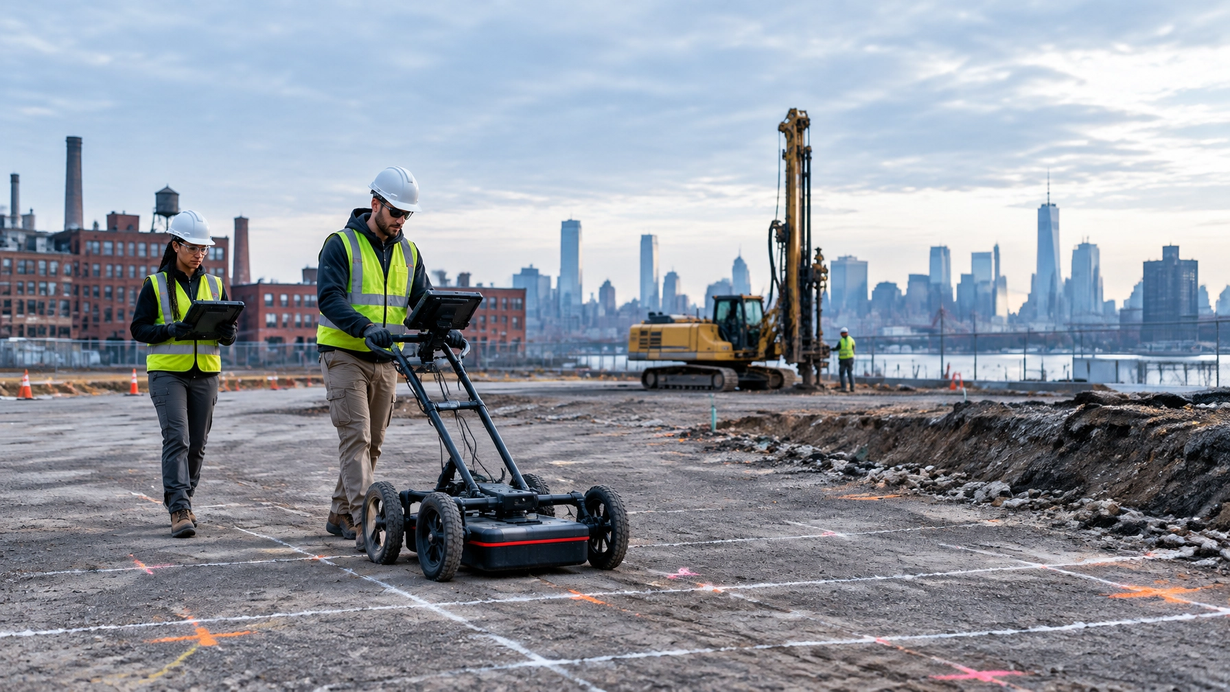
We use AI-enhanced anomaly detection to analyze historical utility maps and thermal signatures. By layering these with our aerial site map overlays, we can spot the patterns that suggest subsurface infrastructure: old piping runs, former foundation walls, or buried tanks: long before we break ground.

This proactive identification allows us to build a remediation plan into your initial budget. No more $100k change orders three months into construction. You go into the project with your eyes wide open.
Envicon vs. The Big Consultants: A Choice of Accountability
You have a choice when it comes to environmental partners. You can hire a national firm with 10,000 employees where your project is just a number in a spreadsheet. You’ll get a bloated, 400-page report written by a junior staffer in a different time zone that concludes with "further study is required."
Or, you can partner with Envicon.
We are a PE-led, field-first firm. We live in the same neighborhoods where we work. When you call us, you aren't talking to a project coordinator; you’re talking to the people who are actually analyzing your data and standing in the mud on your site.
The Envicon Difference:
- Direct Access: No layers of management. You get the truth, straight and fast.
- Tech-Forward: We use AI to save you time, not to replace our expertise.
- Outcome-Obsessed: We don’t care about the report; we care about the "No Further Action" (NFA) letter or the Certificate of Completion.
- Transparent Pricing: We tell you what it’s going to cost and how long it’s going to take. No "scope creep."
Real-Time Data, Real-World Results
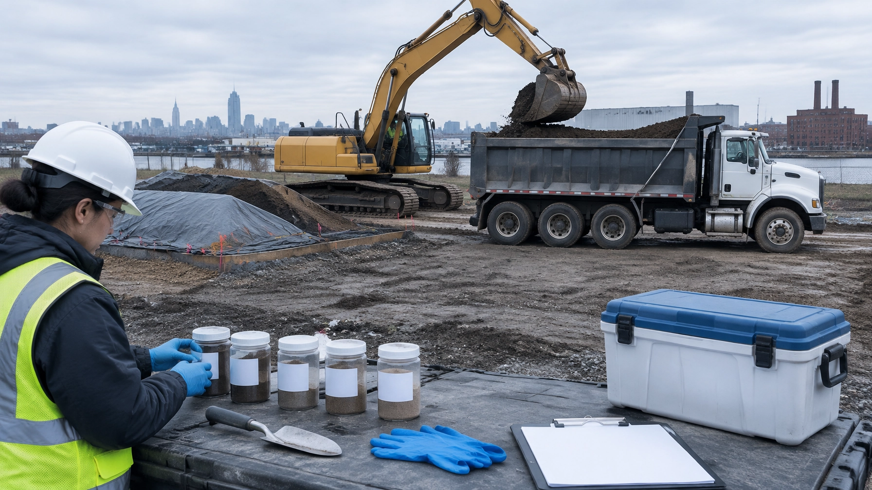
Our technology doesn't stop once the drilling begins. We use field-ready tablets to sync real-time soil and groundwater data directly to our models. This allows us to adjust our strategies on the fly. If the AI predicted a plume boundary at 20 feet but the field data shows it at 15, we can re-calibrate our remediation design instantly.
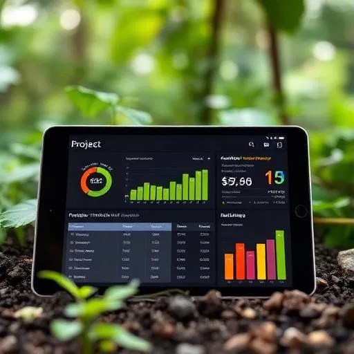
This integration of office-based AI and field-based execution is what ensures precision. It’s how we’ve helped transform dozens of contaminated brownfields into thriving residential and commercial assets across New York and New Jersey.
Summary: The Future of Subsurface Risk
The era of "drilling blind" is over. The risks associated with urban development are too high to rely on manual, antiquated methods. AI-driven data analysis is the only way to move at the speed of the modern market.
At Envicon Group, we use technology to sell trust. We use data to sell authority. And we use our 20 years of local experience to sell a cleared path for your project. Whether you’re an architect looking for site-civil support or a developer in the energy and renewables space, we have the tools to ensure your site is buildable and compliant.
The Takeaway:
- AI identifies risks early, preventing costly construction delays.
- 72-hour turnarounds give you the edge in competitive acquisitions.
- Local expertise in NYC/NJ regulations is non-negotiable for success.
- Precision matters: targeting your investigation saves thousands in unnecessary sampling.
Stop guessing what’s under the surface. Let’s get to work and clear the path to your next successful build.
Ready to see what the data says about your site?
Contact Envicon Group today for a direct consultation. We don't just find problems; we engineer solutions.