Pending approval.
January 20, 2026 changed how New Jersey evaluates flood risk for development projects. NJDEP adopted the Resilient Environments and Landscapes, or REAL, amendments affecting flood hazard areas, coastal permitting, freshwater wetlands, and stormwater management.
For developers in Jersey City, Hoboken, Bayonne, Newark waterfront, Hudson County, Bergen County, and Essex County, the practical issue is not simply whether a property appears inside a FEMA flood zone. The question is whether the proposed work falls within a New Jersey regulated area and what elevation, grading, drainage, storage, and permit documentation NJDEP will require.
This guide explains the NJ flood elevation requirements for 2026, including the REAL rule framework, the difference between FEMA mapping and NJDEP jurisdiction, and the civil engineering work needed to keep a waterfront project moving.
“The purpose of this chapter is to minimize damage to life and property from periodic flooding caused by precipitation and storm surge, and exacerbated by climate change, sea level rise, and flooding caused by development.”
Source: N.J.A.C. 7:13 Flood Hazard Area Control Act Rules
What changed under the January 2026 REAL rules?
The REAL amendments became effective on January 20, 2026. They amended multiple NJDEP programs, including:
- Flood Hazard Area Control Act rules under N.J.A.C. 7:13
- Coastal Zone Management rules under N.J.A.C. 7:7
- Freshwater Wetlands Protection Act rules under N.J.A.C. 7:7A
- Stormwater Management rules under N.J.A.C. 7:8
The NJDEP REAL rule adoption page provides the Department's official overview.
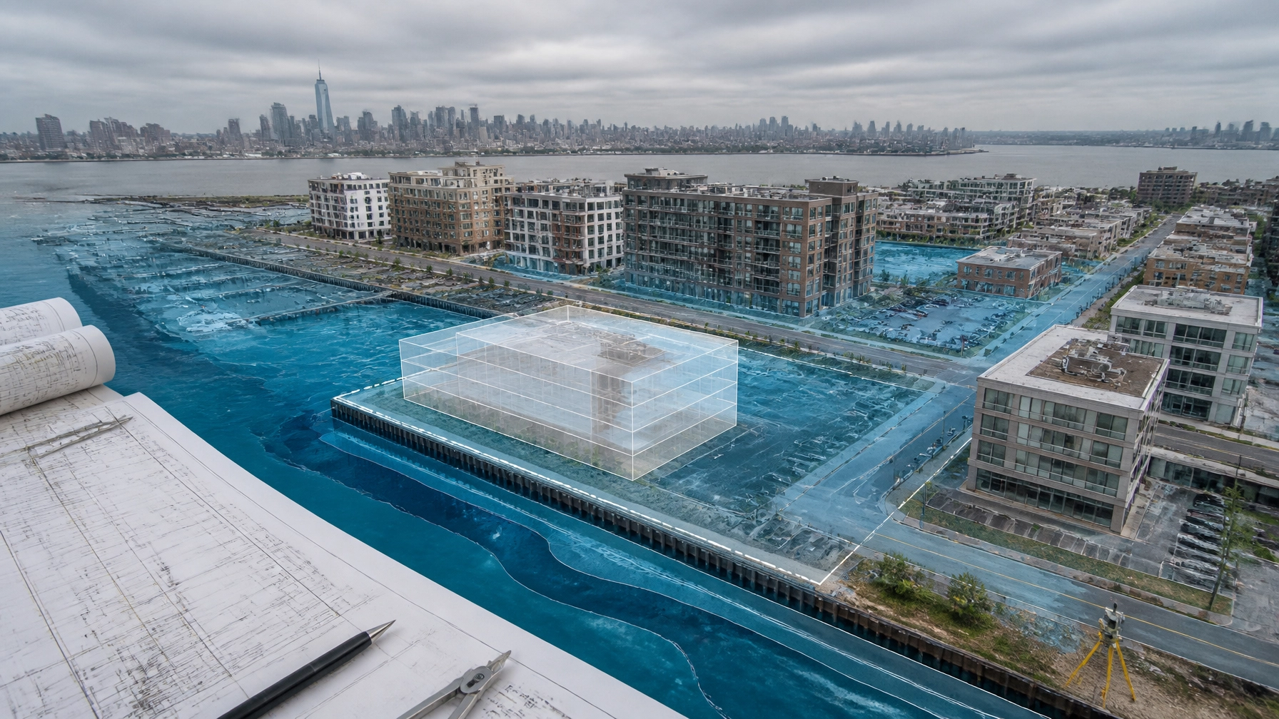
The central change is the use of a climate-adjusted flood elevation. The regulated elevation is not automatically the same as the FEMA Base Flood Elevation, or BFE. NJDEP's rules account for future sea-level rise in tidal areas and increased precipitation in fluvial areas.
That distinction matters for sites that appear outside a FEMA Special Flood Hazard Area but sit near the Hudson River, Hackensack River, Passaic River, Newark Bay, a tidal inlet, or a regulated inland water.
Is NJ flood elevation always FEMA BFE plus four feet?
No. There is no single universal finished-floor elevation for every New Jersey property.
Under N.J.A.C. 7:13, the method depends on the type of flood hazard area and the available mapping.
Tidal and coastal areas
For a tidal regulated water, the climate-adjusted flood elevation is generally determined using the higher applicable value based on:
- Four feet above the 100-year flood elevation shown on an NJDEP delineation
- Four feet above the 100-year flood elevation shown on qualifying FEMA mapping
- A site-specific calculation, where permitted and appropriately supported
This is the basis commonly described as NJ REAL flood elevation in coastal areas equal to FEMA BFE plus four feet. It is a regulatory starting point, not a universal finished-floor number.
The final building design can also involve:
- Lowest-floor requirements
- Flood-resistant construction
- Freeboard
- Utility and mechanical equipment elevation
- Dry or wet floodproofing
- Access and egress requirements
- Local construction-code requirements
- FEMA and National Flood Insurance Program standards
Fluvial and inland areas
For a fluvial flood hazard area, NJDEP generally uses the higher applicable value based on:
- Two feet above the flood hazard area design flood elevation shown on an NJDEP delineation
- Three feet above the FEMA 100-year flood elevation shown on qualifying FEMA mapping
- An approved approximation or site-specific hydrologic and hydraulic calculation
A Passaic River site in Newark or Jersey City may involve tidal influence, fluvial backwater, or both. That is why copying one number from a FEMA map is not enough.

NJDEP mapping and FEMA mapping are not interchangeable
FEMA maps are important. They support flood insurance, federal floodplain management, and building-code decisions. But FEMA mapping alone does not establish every NJDEP regulatory boundary.
N.J.A.C. 7:13 allows NJDEP to determine flood hazard areas through:
- A Department delineation
- FEMA flood mapping
- An approved approximation
- A site-specific engineering calculation
The rules also state that the NJDEP flood hazard area may differ from a flood zone shown by another agency.
Use the FEMA Flood Map Service Center to review effective, preliminary, and advisory mapping. Then compare that information with NJDEP data and the actual site topography.
For Hudson County projects, the comparison should include:
- FEMA FIRM panel and effective date
- FEMA flood profile, where available
- NJDEP flood hazard area information
- Floodway limits
- Inundation Risk Zone mapping
- Riparian zone limits
- Existing and proposed ground elevations
- Mean Higher High Water data for tidal sites
- Local floodplain and zoning requirements
The current N.J.A.C. 7:13 Appendix 2 identifies Department delineated waters in the region, including portions of the Passaic River in Jersey City, Harrison, Kearny, and Newark, and portions of the Hackensack River in Jersey City and Kearny. A municipality or waterway not listed in the appendix is not automatically free of flood-related requirements. The applicable method must be confirmed for the individual site.
Survey and elevation data come first
A Hudson County resilient development permit cannot be designed reliably from a generalized flood-zone screenshot.
The civil team should establish a consistent vertical control framework, generally using NAVD 88, the reference datum identified in N.J.A.C. 7:13.
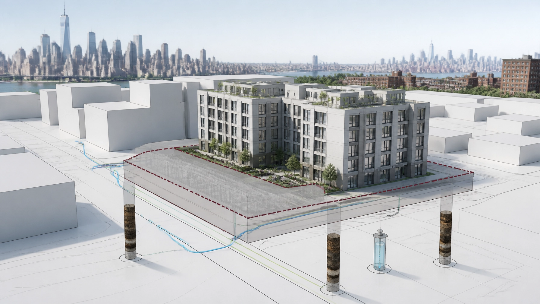
A useful survey package typically shows:
- Property boundaries
- Existing buildings and structures
- Spot elevations and contours
- Streets, curbs, sidewalks, and drainage inlets
- Bulkheads, seawalls, channels, and top-of-bank conditions
- Utility structures
- Existing and proposed finished-floor elevations
- Flood hazard area and floodway limits
- Riparian zone and inundation risk limits
- Proposed grading and drainage features
If the map does not reflect actual site conditions, the project may require a survey-based verification, a delineation revision, or hydrologic and hydraulic calculations. That decision should happen before the architect completes the building layout.
Flood elevation affects grading, drainage, and compensatory storage
Flood compliance is not only a building-height issue.
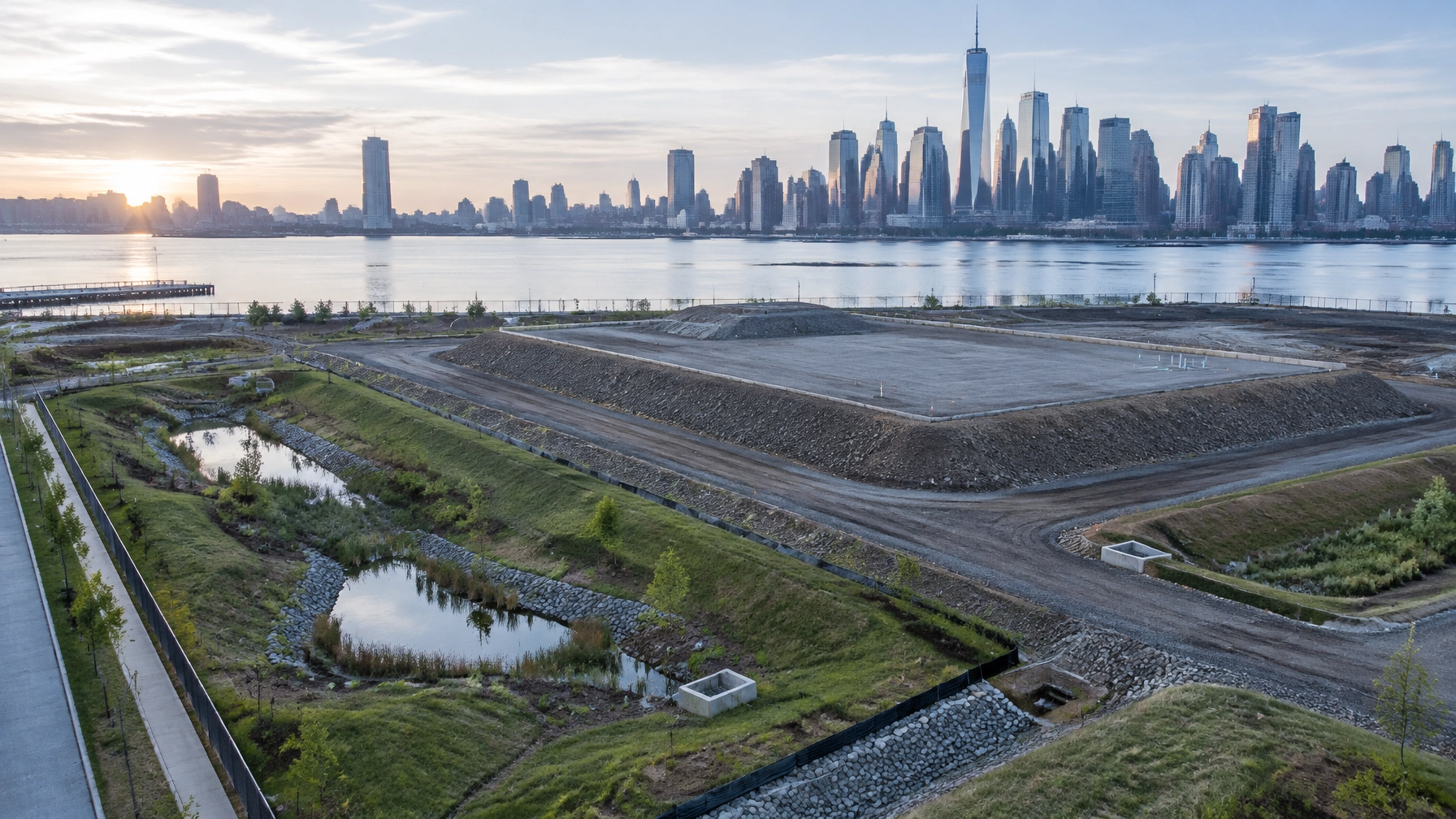
Placing fill, raising grades, adding pavement, constructing retaining walls, or relocating drainage can displace floodwater. A design that elevates a building but blocks flow or reduces storage can still fail technical review.
The civil design should evaluate:
- Existing versus proposed flood storage
- Fill placement and excavation volumes
- Floodway encroachment
- Compensatory storage, where required
- Surface drainage patterns
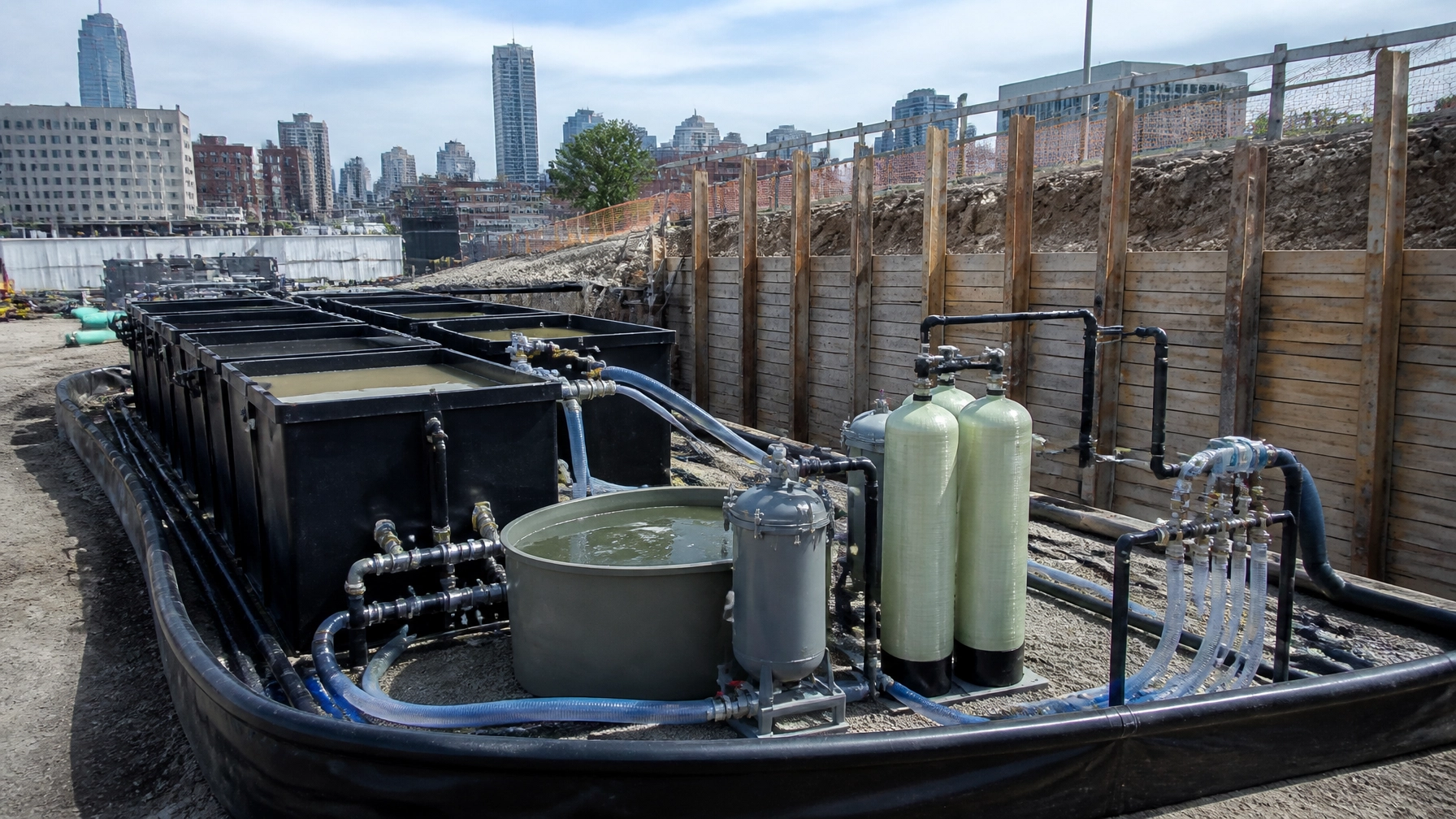
- Stormwater detention and water-quality controls
- Outfall capacity and tide-locked conditions
- Emergency overflow routes
- Basement and below-grade construction
- Protection of utilities and mechanical systems
The project may also trigger the NJDEP Stormwater Management rules and FAQs. Major development thresholds, redevelopment conditions, groundwater recharge, water quality, and quantity controls can become part of the same review.
In a coastal or waterfront setting, flood hazard, coastal permitting, wetlands, and stormwater design must be coordinated. Treating each approval as a separate task creates conflicts between the grading plan, drainage report, wetland limits, and building elevations.
Flood hazard, coastal, wetlands, and stormwater permits can overlap
A Hoboken flood hazard development permit may involve more than N.J.A.C. 7:13.
Depending on the site and scope, the review may also involve:
- Flood Hazard Area authorization
- Coastal Zone Management or Waterfront Development approval
- Freshwater wetlands review
- Riparian zone disturbance
- Stormwater management compliance
- Soil erosion and sediment control
- Municipal site-plan approval
- Local floodplain ordinance
- Construction-code review
- Utility and roadway approvals
NJDEP's current Flood Hazard Area rules and application materials should be reviewed together with the applicable permit checklist. The rule specifically defines an application as complete for review only when it is both administratively and technically complete.
That means the application must contain the right forms and fees, but also enough technical information for NJDEP to evaluate the project.

REAL legacy status: do not assume an extension
The REAL rules took effect on January 20, 2026. NJDEP's initial legacy provisions allowed certain complete applications to proceed under pre-REAL rules during a 180-day period ending July 20, 2026.
NJDEP later proposed extending aspects of the legacy period to July 20, 2027. That proposed extension should not be treated as a permanent or universally applicable codified extension without checking the current NJDEP rulemaking status, the applicable permit type, and the project's completeness date.
For a live project, confirm:
- The date NJDEP received the application
- Whether the application was administratively complete
- Whether it was technically complete
- Whether the application type qualifies for legacy treatment
- Whether later revisions change the project's status
- Whether the current rule or an adopted amendment controls at the time of decision
A verbal understanding that a project is “grandfathered” is not enough. Get the status documented.
NJ flood elevation permit checklist for 2026
Before submitting a Jersey City, Hoboken, Bayonne, Newark waterfront, Hudson, Bergen, or Essex County project, assemble the following:
- Confirm the regulated water and jurisdictional pathway.
- Identify whether the site is tidal, fluvial, or subject to both conditions.
- Obtain current FEMA and NJDEP mapping.
- Complete a site survey tied to NAVD 88.
- Document existing and proposed grades.
- Show proposed building and lowest-floor elevations.
- Delineate floodway, flood fringe, riparian zone, and inundation risk areas.
- Calculate fill, excavation, and potential flood-storage displacement.
- Design compensatory storage if required.
- Coordinate stormwater quantity, quality, and recharge requirements.
- Review coastal and freshwater wetlands interfaces.
- Confirm whether a verification, applicability determination, general permit, general permit-by-certification, or individual permit is appropriate.
- Use the current NJDEP checklist for the selected authorization.
- Confirm municipal floodplain and construction-code requirements.
- Have all engineering reports, plans, calculations, certifications, and notices signed and sealed where required.
- Track completeness correspondence and deficiency responses.
How Envicon keeps the flood review moving
Flood elevation work should not be split between a surveyor, a civil engineer, a permit expediter, and a separate environmental consultant who never coordinate.
Envicon combines civil and geotechnical engineering with environmental permitting and field-level oversight. Our civil and geotechnical engineering team can coordinate survey data, grading, drainage, flood resilience, and construction support. Our compliance and permitting team handles NJDEP submissions, permit strategy, agency comments, and related stormwater and environmental requirements.
From our Jersey City office, we support waterfront and urban development throughout Hudson County, Bergen County, Essex County, and the broader New Jersey market.
The difference is ownership. We do not hand you a flood map and leave you to interpret it. We connect the elevation data to a buildable design, a complete application, and a clear path through agency review.
Key takeaway
The NJ flood elevation requirements for 2026 are site-specific. REAL changed the regulatory framework, but the correct design elevation depends on the flood source, NJDEP and FEMA data, the project scope, the permit pathway, and the quality of the survey and engineering analysis.
For Hudson County development, start with the elevation and jurisdictional analysis before finalizing the building footprint. That is how you avoid redesign, incomplete applications, and expensive delays.
Frequently asked questions
Does every New Jersey coastal property need to be designed to FEMA BFE plus four feet?
No. The four-foot climate adjustment is part of the tidal flood hazard methodology under REAL. The applicable elevation depends on NJDEP or FEMA data, site-specific conditions, building standards, local requirements, and the selected permit pathway.
Does a FEMA Zone X designation mean NJDEP flood permits do not apply?
No. FEMA and NJDEP use different regulatory frameworks. A site can require NJDEP review based on a Department delineation, an approved calculation, a riparian zone, an inundation risk zone, or another regulated condition.
What is the difference between FEMA BFE and NJDEP climate-adjusted flood elevation?
FEMA BFE represents the 1% annual chance flood elevation shown in applicable FEMA studies. NJDEP's climate-adjusted flood elevation adds the adjustments required by N.J.A.C. 7:13 and may produce a more protective regulatory elevation.
What does a complete NJDEP flood application require?
The application must be administratively and technically complete. Typical materials include the correct forms, fee, site plans, surveys, mapping, engineering reports, calculations, certifications, public notice materials, and project-specific documentation required by the current NJDEP checklist.
Can a project still qualify for REAL legacy treatment in 2026?
It depends on the application type, completeness status, submission date, and the current status of NJDEP's legacy provisions or amendments. Do not assume that a proposed extension applies. Confirm the status with the current NJDEP materials and obtain project-specific advice.
Plan the next step before design gets locked
- Call Envicon now
- Request a flood resilience and permitting quote
- View civil and geotechnical engineering services
- Review compliance and permitting services