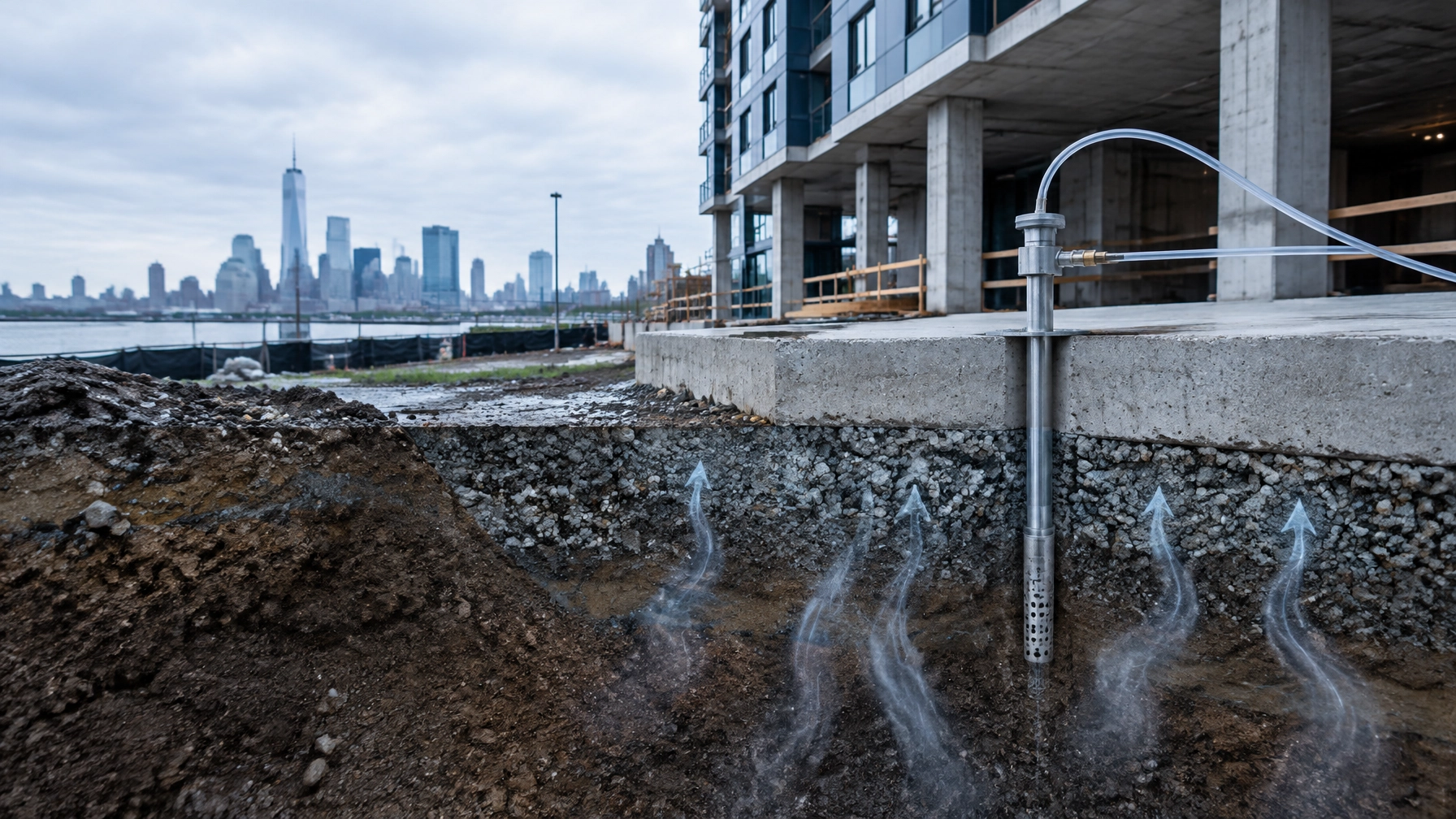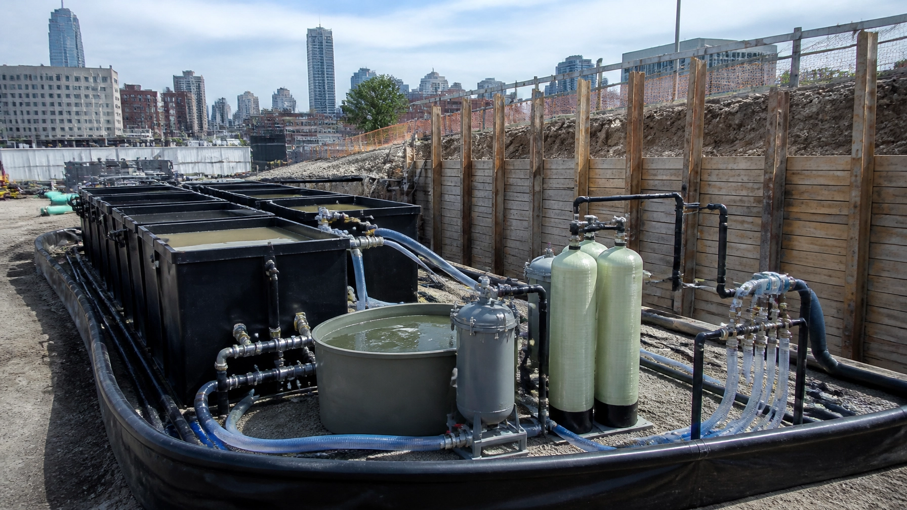
For developers evaluating a former industrial parcel in Newark, historic fill is not a reason to walk away. It is a reason to establish the right soil management plan before acquisition, design, or excavation begins.
The primary search question is straightforward: What does NJDEP historic fill soil reuse in Newark require in 2026?
The answer depends on the current New Jersey Department of Environmental Protection guidance, analytical results, intended site use, proposed soil movement, and any site-specific approvals. A plan that works for one Newark brownfield may not work for a waterfront parcel in Jersey City, Hoboken, or Bayonne.
Envicon helps developers convert that uncertainty into a documented path forward.
What historic fill means in Newark and Northern New Jersey
NJDEP defines historic fill as non-indigenous material placed to raise site grade. The material was contaminated before placement and was not connected to operations at the location where it was placed.
Historic fill can include:
- Construction and demolition debris
- Brick and ash
- Incinerator residue
- Dredge spoils
- Fly ash
- Non-hazardous solid waste
Historic fill is common across older industrial areas of Newark, Essex County, Hudson County, Bergen County, Jersey City, Hoboken, and Bayonne. Waterfront expansion, rail infrastructure, manufacturing, and urban grading projects often relied on imported materials long before modern environmental controls existed.
NJDEP treats historic fill as an area of concern. It must be evaluated separately from other potential sources, such as underground storage tanks, former process areas, dry-cleaning operations, or petroleum releases.
NJDEP’s Historic Fill Material Technical Guidance states that the investigator may either assume historic fill is contaminated or collect data to demonstrate that it does not exceed applicable residential soil remediation standards.
“Historic fill material is likely to contain contaminants including PAHs and metals at levels in excess of the Department’s applicable soil remediation standards.”
That assumption can support a practical containment remedy. It does not eliminate the need for investigation, regulatory documentation, or proper management during construction.
Start with a conceptual site model
A strong historic fill management plan begins with a conceptual site model, or CSM. The CSM is the working explanation of how contaminants are distributed, how they may move, and who or what could be exposed.
For a Newark redevelopment site, the CSM should identify:
- The horizontal footprint and thickness of historic fill
- The boundary between fill and native soil
- Fill composition, including ash, brick, cinders, and debris
- Groundwater depth and estimated flow direction
- Soil, groundwater, soil vapor, and surface-water pathways
- Current and future receptors
- Existing pavement, slabs, caps, or other barriers
- Proposed excavation and building areas
- Data gaps that could affect cost or schedule
The CSM should be updated as new information becomes available. A boring that encounters ash or debris in one corner of a property may change the investigation strategy for the entire parcel.

Historic fill investigation and sampling
The first step usually combines records review with field investigation.
Historical research should include aerial photographs, Sanborn maps, topographic information, environmental databases, previous reports, and NJ Geological Survey historic fill mapping. The NJDEP Historic Fill Technical Guidance identifies historical records and NJGS mapping as important tools during the Preliminary Assessment or Site Investigation.
Field work should confirm:
- Where historic fill is present
- How deep the fill extends
- Whether the fill continues below proposed excavation limits
- Whether native soil is present beneath the fill
- Whether groundwater is within or near the fill
- Whether odors, free product, staining, or elevated PID/FID readings indicate another area of concern
NJDEP guidance recommends advancing borings, test pits, or trenches through the fill and approximately two feet into the underlying native material to help establish the vertical and general horizontal extent.
If sampling is selected instead of assuming contamination, the historic fill guidance identifies a minimum of two sample locations per acre for the initial sampling approach. Once historic fill is confirmed during remedial investigation, NJDEP recommends at least four borings, test pits, or trenches per acre, with a minimum of four locations per site, subject to professional judgment and documented justification.
Typical historic fill analyses include:
- TAL metals
- TCL PAHs
- Extractable petroleum hydrocarbons
- VOCs where field conditions or site history warrant
- PCBs, pesticides, or other constituents indicated by site history
- PFAS where current NJDEP standards, site history, or potential sources make testing appropriate
PFAS requires particular care. NJDEP’s PFAS program and current remediation standards should be reviewed before finalizing a sampling and reuse decision. The applicable criteria may change, and PFAS results can affect soil classification, groundwater evaluation, disposal options, and reuse feasibility.
Build the soil management plan before excavation
A historic fill management plan should be part of the development schedule, not an afterthought during construction.
The plan should address:
- Soil classification
Identify whether material is clean fill, alternative fill, restricted-use soil, solid waste, or hazardous waste. - Excavation limits
Tie excavation areas to the CSM, proposed foundations, utilities, basements, stormwater systems, and grading plan. - Segregation procedures
Keep visibly different materials separate. Ash, debris-rich fill, stained soil, petroleum-impacted soil, and ordinary fill should not be mixed without a documented technical basis. - Stockpile controls
Use covered stockpiles, stabilized access routes, dust suppression, erosion controls, perimeter controls, and clear identification of each soil category. - Loading and transport
Maintain bills of lading, manifests, truck logs, source information, receiving facility approvals, and analytical documentation. - Disposal and reuse pathways
Evaluate on-site consolidation, engineered containment, approved off-site disposal, alternative fill, clean fill, or other authorized reuse options. - Field decision authority
Identify who can stop work, collect confirmation samples, approve a soil destination, and communicate with the LSRP, contractor, owner, and regulator.

NJDEP’s Fill Material Guidance for SRP Sites requires a Fill Use Plan when alternative fill or clean fill will be used as part of a remedial action.
That plan should document the donor material, receiving area, volume, contaminant profile, sampling data, proposed location, elevations, engineering controls, groundwater conditions, and final land use.
NJDEP alternative fill approval and reuse pathways
The phrase “soil reuse” does not mean unrestricted movement of contaminated soil.
For alternative fill from an off-site source, NJDEP rules generally require that:
- The contaminants in the fill are already present at the receiving area above applicable standards.
- Concentrations do not exceed the applicable 75th percentile evaluation for the receiving area.
- The volume does not exceed what is needed to restore pre-remediation grade.
If a proposal does not meet one of those conditions, prior written NJDEP approval is required under N.J.A.C. 7:26E-5.2.
That is where an NJDEP alternative fill approval strategy becomes important. The approval package should explain why the material is needed, how the receiving area is characterized, how the proposal protects groundwater and surface water, and how the project minimizes the volume of alternative fill.
On-site movement may be possible when the donor and receiving areas contain compatible contaminants and the movement improves the remedy. Moving material to a clean area is generally prohibited unless the project meets the applicable approval requirements.
Historic fill from a contiguous redevelopment area may also be evaluated for relocation across property boundaries. The donor and receiving areas still need to be characterized. Like-on-like requirements, groundwater protection, sampling, documentation, and LSRP oversight remain central.
Material containing substantial debris may not qualify as soil or fill recyclable material. It may require management as solid waste. Non-soil historic fill may also trigger a Certificate of Authority to Operate or Beneficial Use Determination review.
Reuse decisions depend on current NJDEP guidance, analytical results, and site-specific approvals. Do not rely on a prior project, an old report, or a verbal statement from a hauler.
Capping, deed notices, and long-term controls
Complete excavation is not always the best remedy for historic fill. NJDEP guidance recognizes engineering and institutional controls as practical tools when the material remains in place.
Potential engineering controls include:
- Concrete building slabs
- Asphalt pavement
- Clean soil caps
- Geotextile separation layers
- Low-permeability barriers
- Vapor barriers
- Drainage and erosion-control systems
A deed notice may be required when residual soil contamination remains above residential direct-contact standards. A Soil Remedial Action Permit may also be required for a restricted-use or limited restricted-use remedy.
The final control must match the proposed use. A residential building, commercial structure, public plaza, industrial yard, and landscaped open space create different exposure and maintenance conditions.

The control also needs to be reflected in the civil plans. If the cap is omitted from the grading plan, utility plan, landscape plan, or foundation design, the remedy can be damaged during construction.
How the plan affects acquisition and construction schedules
Historic fill affects more than environmental compliance. It can change the purchase price, geotechnical design, soil export budget, foundation sequence, dewatering approach, and construction start date.
A developer should resolve these questions before closing:
- Is historic fill present beneath the proposed building footprint?
- Will excavation extend through the full fill thickness?
- Can material remain in place beneath a cap?
- Is groundwater likely to be encountered?
- Will PFAS, PAHs, metals, or petroleum affect disposal?
- Is alternative fill reuse technically and regulatorily feasible?
- Will NJDEP pre-approval be required?
- Does the design exceed original grade?
- Are deed notice or remedial action permit obligations acceptable to the lender?
- Who will manage soil decisions in the field?
Early investigation gives the project team options. Late discovery usually gives the contractor a change order.
Historic fill soil decision tree for Newark redevelopment
Use this decision tree as an initial screening tool. It does not replace a site-specific evaluation by an LSRP.
- Is historic fill suspected?
- No: Complete the normal PA/SI process and evaluate other areas of concern.
- Yes: Review site history, NJGS mapping, aerials, and prior data.
- Is historic fill confirmed?
- No: Document the investigation and continue the CSM.
- Yes: Delineate the fill and choose whether to assume contamination or sample.
- Do analytical results exceed applicable standards?
- No: Evaluate groundwater and document the basis for continued management.
- Yes, or contamination is assumed: Design a remedial action and soil management plan.
- Will the fill remain in place?
- Yes: Evaluate capping, deed notice, Soil Remedial Action Permit, groundwater, and long-term maintenance.
- No: Classify, segregate, profile, transport, and dispose or reuse under current NJDEP requirements.
- Will soil be reused?
- No: Use an approved disposal or treatment pathway.
- Yes: Determine whether the material is clean fill or alternative fill. Evaluate like-on-like, 75th percentile, grade, groundwater, debris, and approval requirements.
- Does the proposal fail any NJDEP alternative fill condition?
- No: Prepare the Fill Use Plan and maintain field documentation.
- Yes: Obtain required NJDEP written approval before importation or placement.
A practical path forward
A Newark historic fill problem becomes manageable when the investigation, regulatory strategy, civil design, and construction controls work from the same data.
Envicon provides brownfield remediation and redevelopment support, including remedial investigations, soil management, clean fill certification, engineering controls, waste characterization, construction oversight, and regulatory coordination. Our NJ LSRP services support projects from investigation through case closure.
We serve developers and project teams across Newark and Essex County, Jersey City, Hoboken, Bayonne, Hudson County, and Bergen County. Our Jersey City office supports rapid field coordination throughout the region.
CTA: Request a historic-fill risk review
Before you acquire, excavate, or move soil, ask for a historic-fill risk review and soil management consultation.
- Request a soil management consultation
- Call Envicon at (917) 764-2171
- Review our remediation and brownfield services
- Connect with an NJDEP LSRP
Historic fill does not have to stop redevelopment. The right plan turns buried uncertainty into a controlled, documented, buildable path.