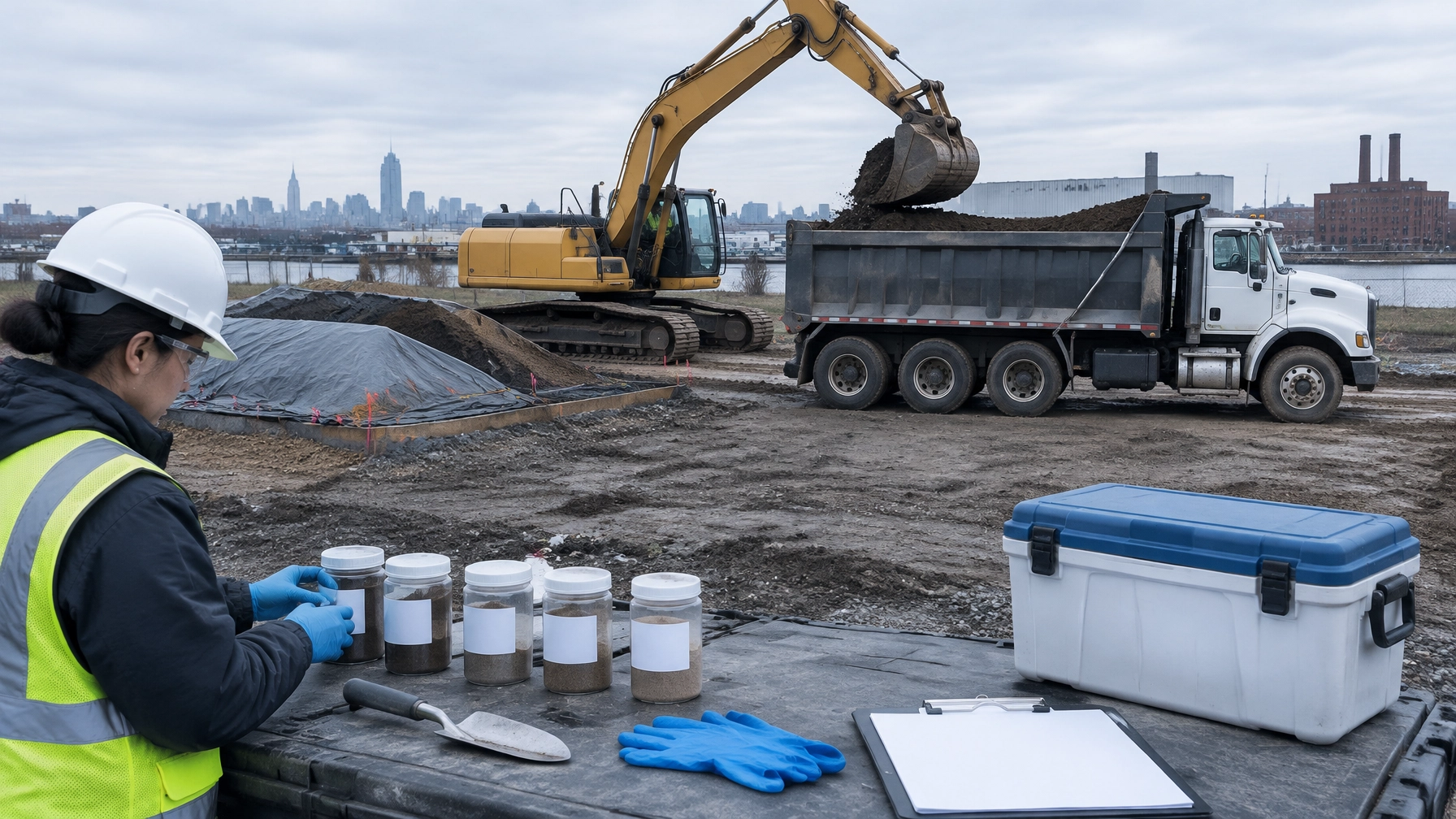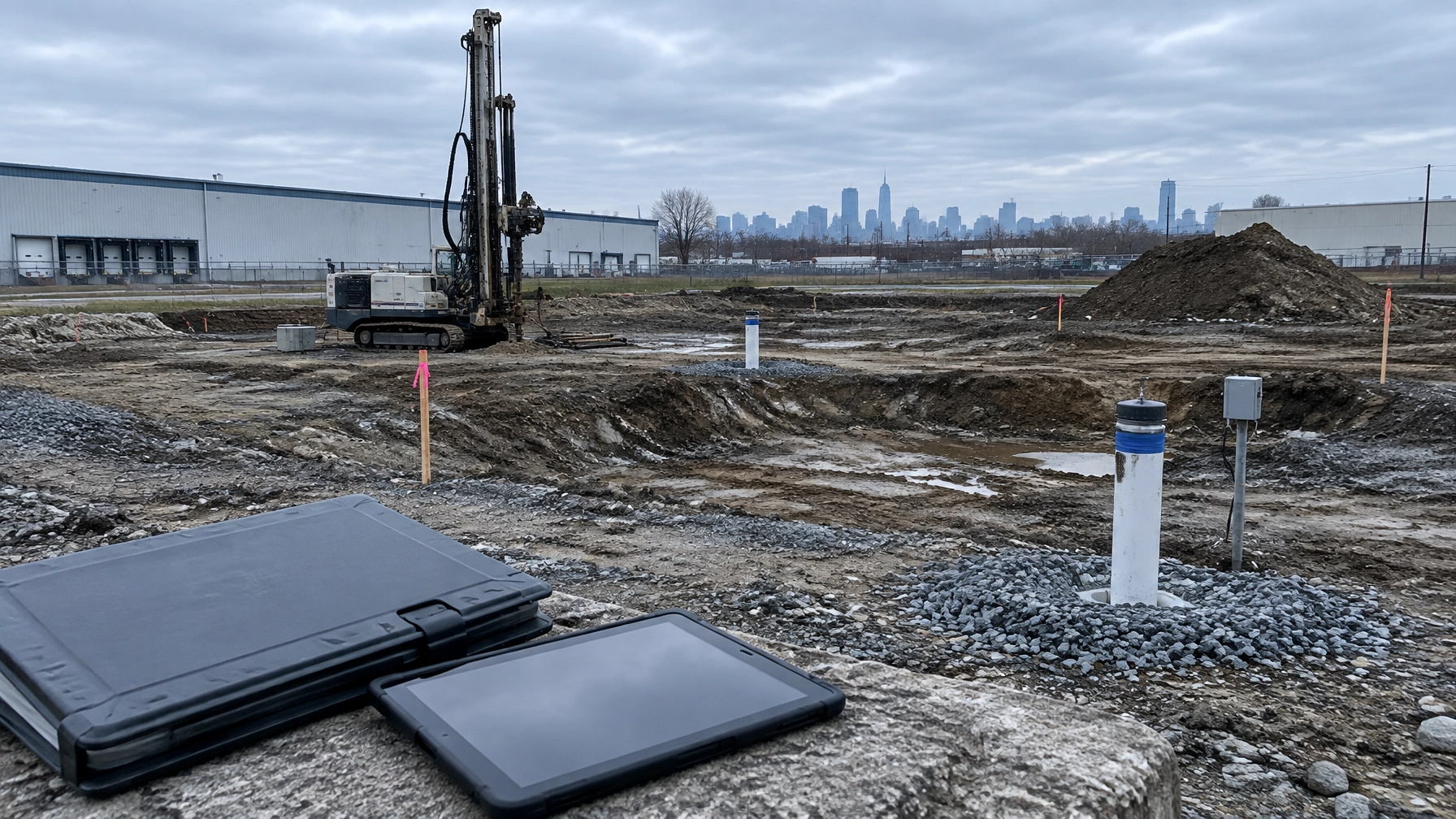
A waterfront parcel in Jersey City, Bayonne, Newark, Brooklyn, or Queens rarely has a single environmental problem.
The shoreline may contain manufactured gas plant residuals, coal tar, PAH-impacted sediment, historic fill, buried debris, and decades of industrial discharge. The bulkhead may be structurally compromised. The seabed may require dredging or capping. Tidelands, riparian rights, wetlands, navigation, and seasonal fish protections can add separate approvals.
That combination changes the project sequence.
Sediment and waterfront remediation is not a report-only exercise. It requires environmental characterization, civil and structural coordination, agency-facing permitting, dredged material planning, and field oversight that keeps the remedy aligned with the redevelopment plan.
Why waterfront sites carry a different contamination profile
Waterfront land in the New York and New Jersey market was often created, expanded, or reshaped through decades of industrial activity.
Former gas plants, refineries, rail yards, shipyards, terminals, chemical facilities, and waste handling operations commonly occupied shorelines because water supported transportation and manufacturing. The same locations now attract residential, commercial, logistics, and mixed-use development.
That history creates several recurring conditions:
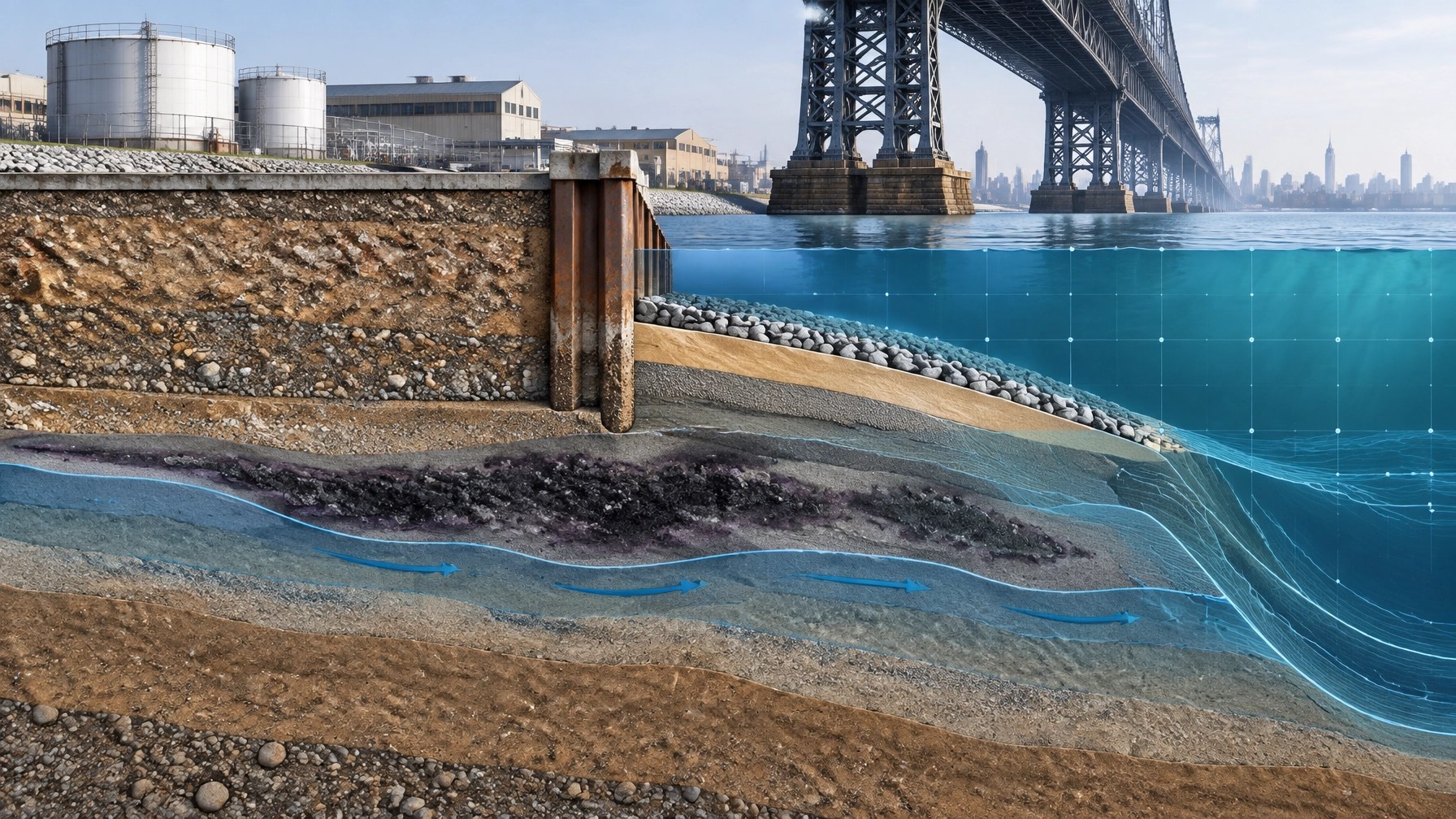
- MGP residuals and coal tar: Manufactured gas plants generated coal tar, purifier waste, and PAH-rich residuals. These materials can remain in upland soil, groundwater, nearshore sediment, and beneath or beside bulkheads.
- Historic fill: Waterfront expansion often relied on cinders, ash, slag, demolition debris, and other fill. The fill can contain metals, PAHs, petroleum compounds, and debris that complicate excavation and reuse.
- Fine-grained sediment: Silt and clay accumulate in protected berths, channels, coves, and industrial shorelines. These sediments can bind contaminants and require specialized sampling before disturbance.
- Bulkhead migration: Deteriorating bulkheads can allow contaminated upland material to move into the water. A replacement wall may be part of the remedy, not just a structural improvement.
- Mixed regulatory boundaries: The project can cross upland, riparian, tidal, wetland, and navigable-water jurisdictions within the same construction footprint.
For developers, this means that conventional environmental due diligence for New Jersey developers must look beyond the property line. The sediment, shoreline structure, and proposed in-water work all affect cost, schedule, and liability.
The first step is a three-dimensional site model
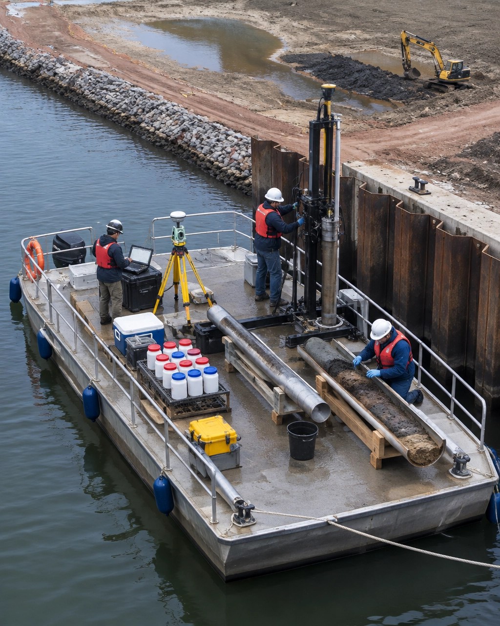
A waterfront investigation needs more than a few upland soil borings.
The investigation should connect the upland, shoreline, water column, sediment column, and structure. The objective is to understand where contamination exists, how it moves, and what construction activities could expose or redistribute it.
A practical characterization program may include:
- Historical research focused on MGP operations, fuel storage, coal handling, ship repair, and shoreline filling.
- Upland soil and groundwater borings near the bulkhead and former process areas.
- Sediment cores collected across a defined grid, including nearshore and deeper-water locations.
- Sampling for PAHs, metals, PCBs, petroleum compounds, and site-specific contaminants.
- Porewater or groundwater evaluations where contaminant migration is a concern.
- Bathymetric survey to document existing bottom elevations and identify dredging volumes.
- Bulkhead condition assessment, including toe conditions, tiebacks, sheet piles, caps, wale systems, and evidence of undermining.
- Survey control that connects environmental data to civil plans and proposed grades.
In New Jersey, sediment sampling should be coordinated with NJDEP’s Office of Dredging and Sediment Technology. NJDEP guidance identifies the need to review proposed dredging against coastal, wetlands, flood hazard, and tidelands requirements. Its dredging guidance also explains that tidelands can include land currently or formerly flowed by the mean high tide.
In New York, dredging and disturbance of the bed or banks of navigable waters generally falls under the NYSDEC Protection of Waters program. Tidal wetlands, coastal erosion areas, and water quality requirements may add separate approvals. NYSDEC’s Sediment Assessment and Management program provides the state framework for sediment evaluation and management.
Bulkhead condition affects the remedy
A bulkhead is not just a line on a survey.
It may be the only barrier separating historic fill from the water. It may also be carrying surcharge from cranes, trucks, buildings, utilities, or future site improvements. If the wall moves during excavation or dredging, contamination can migrate and the construction plan can fail.
The assessment should answer practical questions:
- Is the bulkhead structurally sound enough to support the proposed work?
- Does the wall have a functioning toe, tieback system, and connection to upland fill?
- Is contaminated sediment present seaward of the wall?
- Will replacement require removal of submerged material?
- Can the new structure incorporate a low-permeability cutoff, liner, or other containment feature?
- Will the final shoreline withstand scour, vessel wake, sea-level rise, and future site loading?
The answer may lead to a combined remedy. For example, the project could require bulkhead replacement, targeted sediment removal, an engineered cap, upland soil management, and long-term monitoring.
That design must be coordinated with civil engineering. The wall, cap, drainage, utilities, grades, access roads, and building foundation cannot be designed as separate scopes.
Dredging, capping, or beneficial use?
There is no universal waterfront remedy. The selection depends on contaminant concentrations, sediment stability, water depth, navigation, construction impacts, future land use, and disposal options.
Dredging
Dredging removes impacted sediment from the waterbody. It may be necessary where contamination is mobile, concentrated, obstructive to navigation, or directly in the footprint of a new bulkhead or marine structure.
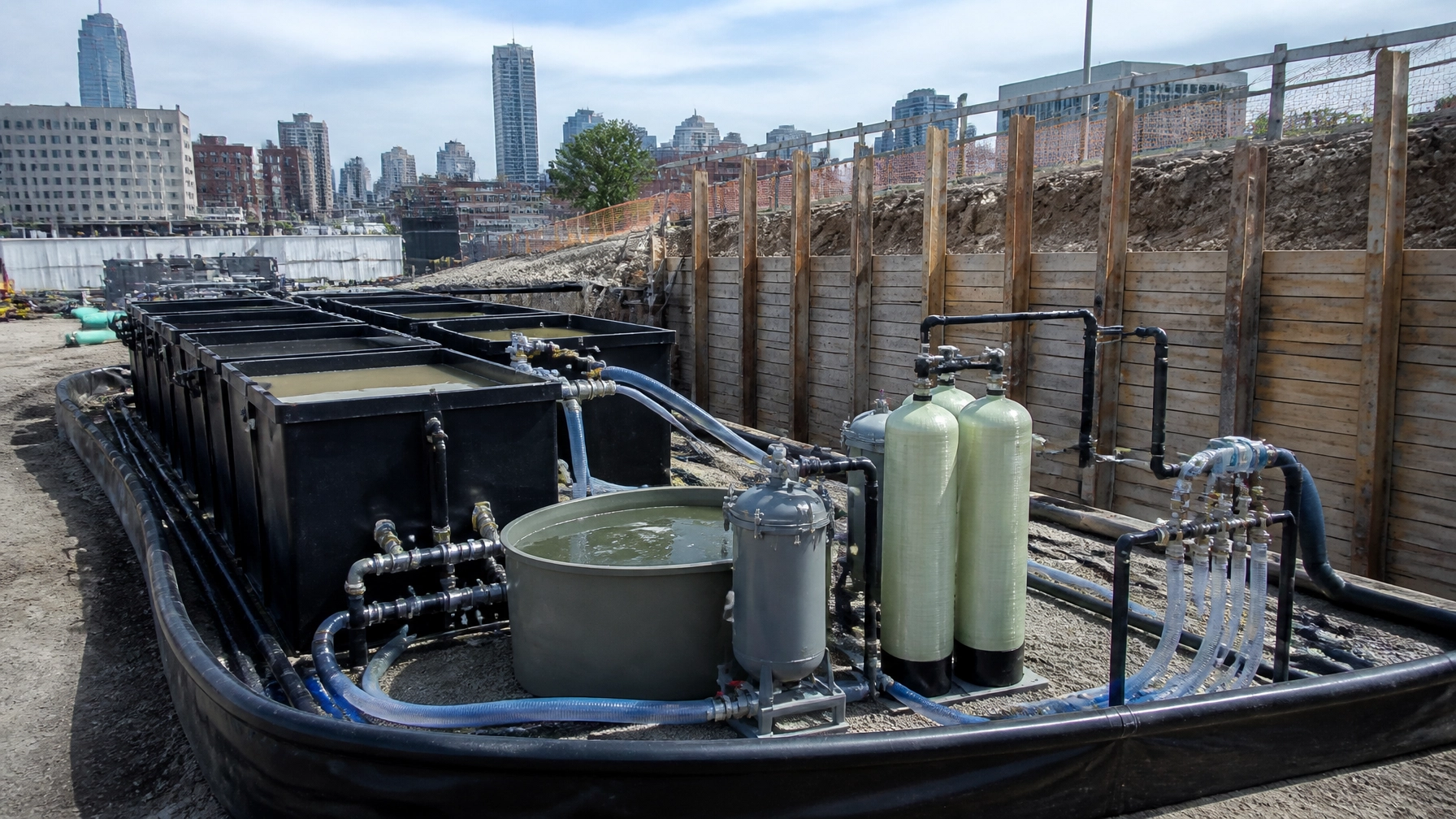
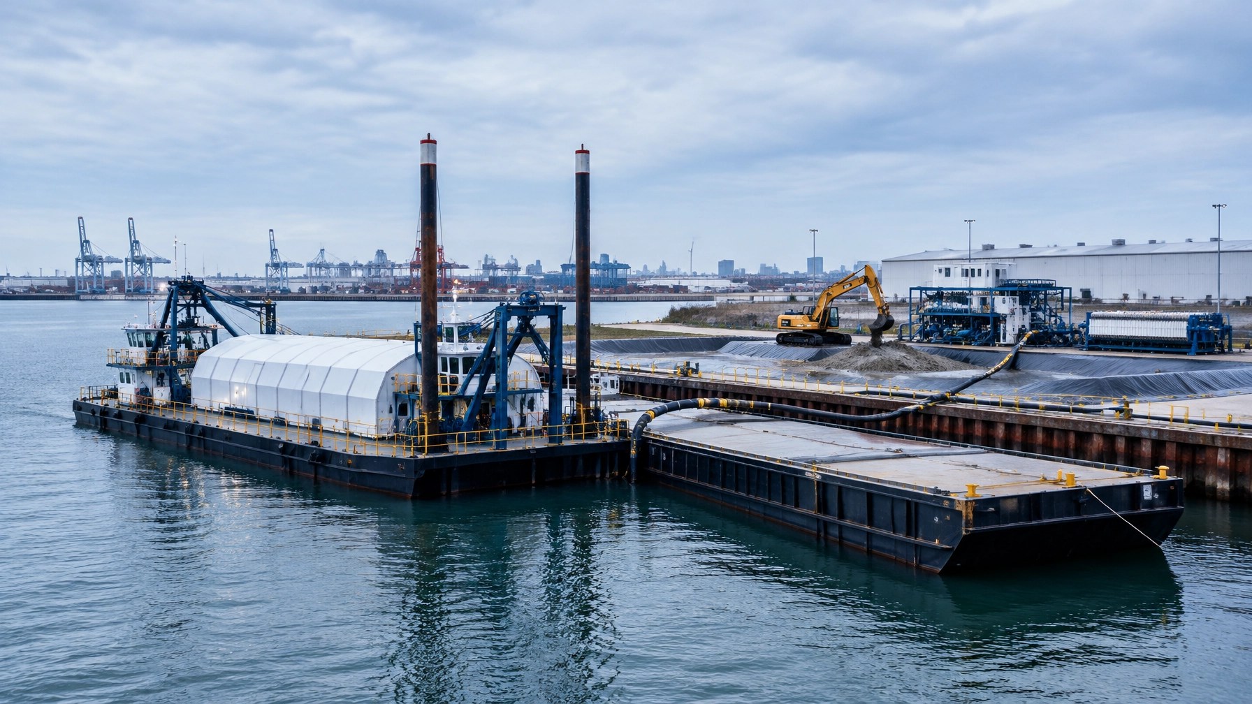
Dredging also creates the most immediate management issue. The removed material must be characterized, contained, dewatered if necessary, transported, and sent to an authorized disposal or reuse destination.
Engineered capping
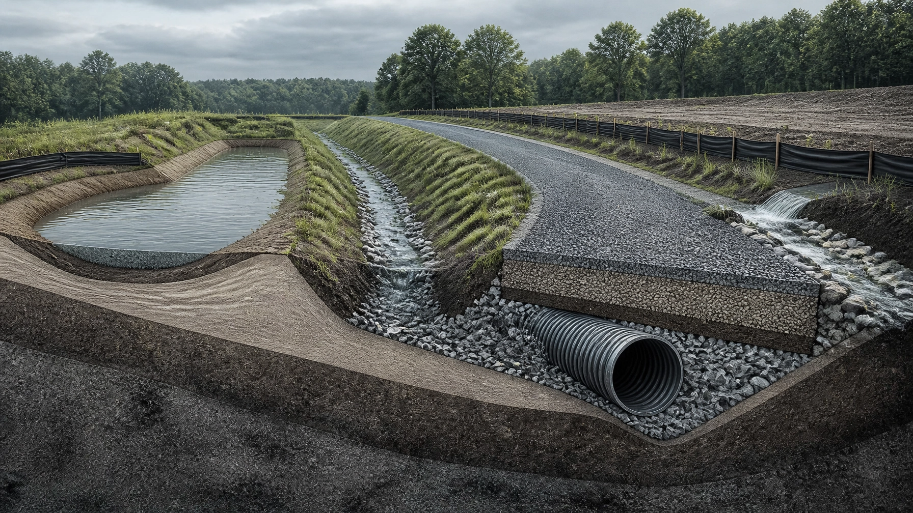
A cap isolates contaminated sediment beneath clean material or a designed treatment layer. The design may include sand, armor stone, geotextiles, reactive media, or other layers.
Capping can reduce disturbance and avoid unnecessary removal, but it requires long-term stability. The cap must withstand erosion, propeller wash, vessel activity, scour, settlement, and future maintenance dredging.
In situ stabilization
In situ stabilization or solidification can reduce contaminant mobility by mixing binding agents into sediment or fill. Treatability testing is important before selecting this approach. The design must account for mixing depth, strength, permeability, volume increase, and compatibility with future construction.
Monitored natural recovery
In limited cases, natural sedimentation and monitored recovery may be part of the remedy. This option requires defensible evidence that contaminant concentrations are declining and that the sediment will remain stable. It is not a shortcut around characterization.
Dredged material management must start early
Dredged material is not automatically clean fill.
In New Jersey, proposed reuse of dredged material at a remediation site may require an Acceptable Use Determination and compliance with NJDEP site remediation and fill material requirements. Contaminated or debris-laden material may require treatment or permitted disposal.
In New York, dredged material managed upland may be subject to solid waste requirements, while in-water management requires coordination with NYSDEC and, where applicable, federal authorizations.
For work in navigable waters, USACE review may involve:
- Section 10 of the Rivers and Harbors Act for dredging and structures in navigable waters.
- Section 404 of the Clean Water Act for discharge of dredged or fill material.
- Section 401 water quality certification through the applicable state agency.
- Section 103 of the Marine Protection, Research, and Sanctuaries Act if ocean placement is proposed.
The EPA is evaluating long-term dredged material management options for the New York Bight as the Historic Area Remediation Site approaches the next stage of its management. The EPA Region 2 program page explains the alternatives under consideration and the continuing role of beneficial use.
Tidelands, riparian rights, and permitting sequence
In New Jersey, tidelands issues can affect both the work area and the proposed material management plan. A project may require a tidelands license or grant when work occurs at or below mean high water, or when filled land was formerly flowed by the tide.
In New York, the review may involve NYSDEC, NYC waterfront agencies, and the U.S. Army Corps of Engineers. In New York City, a brownfield site may also involve NYC OER brownfield cleanup, especially where the upland remedy and construction controls need to align with the city’s regulatory pathway.
Depending on location and scope, coordination may include:
- NJDEP or NYSDEC remediation staff.
- NJDEP coastal, wetlands, flood hazard, and dredging reviewers.
- NYC OER for applicable New York City brownfield projects.
- USACE Regulatory.
- EPA Region 2 for ocean placement or federal review.
- Local waterfront, zoning, and building authorities.
- The Waterfront Commission or port authorities where jurisdiction applies.
- Resource agencies reviewing habitat, fisheries, navigation, or endangered species concerns.
A compliance and permitting plan should be developed before finalizing the construction schedule. Permits should not be treated as paperwork added after design.
How in-water work windows affect the schedule
In-water work windows are usually project-specific. They may address fish migration, spawning, winter flounder, shellfish, essential fish habitat, wetlands, or federally listed species.
The practical point is simple. A permit may be approved, but the contractor may still have only a limited period to mobilize, dredge, install a bulkhead, place a cap, or complete pile work.
That affects:
- Marine equipment availability.
- Dredge and scow contracts.
- Sediment testing and disposal coordination.
- Bulkhead fabrication.
- Utility relocation.
- Dewatering and treatment capacity.
- Inspection and environmental monitoring staffing.
- Float time for weather and vessel traffic.
A missed window can move the marine portion of a project by months. The schedule should show permit milestones, sampling approvals, disposal acceptance, equipment reservations, and the allowed in-water construction period as connected activities.
Recommended sequencing for a waterfront redevelopment site
For a brownfield redevelopment in Newark Bay, the Passaic River corridor, Jersey City, Bayonne, Brooklyn, or Queens, we recommend this sequence:
- Confirm jurisdiction and ownership constraints. Map property limits, mean high water, tidelands or riparian interests, wetlands, navigation channels, and agency boundaries.
- Complete historical and technical screening. Identify MGP, coal tar, historic fill, bulkhead, and former industrial operations.
- Perform integrated upland and sediment characterization. Pair soil and groundwater data with sediment cores, bathymetry, and bulkhead assessment.
- Hold early agency coordination meetings. Confirm the sediment sampling plan, likely permit pathway, remedy expectations, and disposal or beneficial-use options.
- Develop alternatives that match the construction plan. Compare dredging, capping, stabilization, and combined bulkhead remedies.
- Lock down material management before excavation or dredging. Obtain acceptance criteria, disposal capacity, transportation assumptions, and contingency pricing.
- Advance civil, structural, environmental, and permitting documents together. Avoid designing a remedy that cannot support the final shoreline or building program.
- Build the in-water work window into the baseline schedule. Reserve marine equipment and field staff before the window opens.
- Provide active construction oversight. Track sediment handling, cap placement, turbidity controls, air monitoring where applicable, survey data, and field changes.
- Document closure and long-term obligations. Deliver records that regulators, lenders, attorneys, and future owners can use.
National firms often divide these tasks among separate teams and deliver a report after the critical decisions have already been made. Envicon takes a different approach. We coordinate environmental, civil, construction, and agency work around the actual project sequence.
Collaboration is not a buzzword. It is how waterfront projects get built.
The takeaway
Waterfront remediation in New York and New Jersey requires more than contamination data. It requires a clear understanding of sediment behavior, bulkhead condition, dredged material options, tidelands, riparian rights, federal navigation rules, state permitting, and seasonal construction constraints.
The earlier those issues are connected, the fewer surprises reach the closing table or the construction schedule.
Envicon helps developers turn complex waterfront conditions into an executable path. We provide sediment and waterfront remediation, brownfield redevelopment support, regulatory coordination, civil engineering, and field oversight without leaving you to translate a report into a construction plan.
Ready to plan your waterfront remediation project?
- Call Envicon now at (917) 764-2171
- Screen your project risk
- View our complete list of environmental and engineering services