A New Jersey flood permit does not become complete just because it was uploaded to NJDEP.
For waterfront and flood-zone projects in Jersey City, Hoboken, Bayonne, Newark, Hudson County, Bergen County, and Essex County, NJDEP must have enough reliable information to evaluate the regulated activity. That means more than an application form. It means verified flood elevations, survey data, floodway and riparian mapping, grading details, building elevations, ownership certifications, fees, and supporting permits.
This is the standard developers should use when reviewing NJ flood hazard area permit completeness.
A submission date protects your schedule only when the application contains enough information for substantive agency review.
Why completeness matters under the REAL rules
New Jersey’s Resilient Environments and Landscapes rules changed several permitting standards, particularly for tidal flood hazard areas, coastal development, wetlands, and climate-informed flood elevations.
The transition provisions also created important legacy distinctions. The relevant legacy date depends on the type of flood hazard area:
- Fluvial flood hazard area: legacy treatment under the pre-Inland Flood Protection standards generally required a complete application before July 17, 2023.
- Tidal flood hazard area: legacy treatment under pre-REAL tidal standards generally required a complete application before January 20, 2026.
- Other REAL-affected permits: certain Coastal Zone Management, freshwater wetlands, and related applications may have different transition deadlines.
A flood hazard application submitted by July 20, 2026 does not automatically receive pre-REAL treatment. The controlling rule version depends on the permit type, the tidal or fluvial classification, and whether the application met the applicable administrative and technical completeness requirements.
Review the NJDEP REAL legacy provisions and confirm the rule path before relying on legacy treatment.
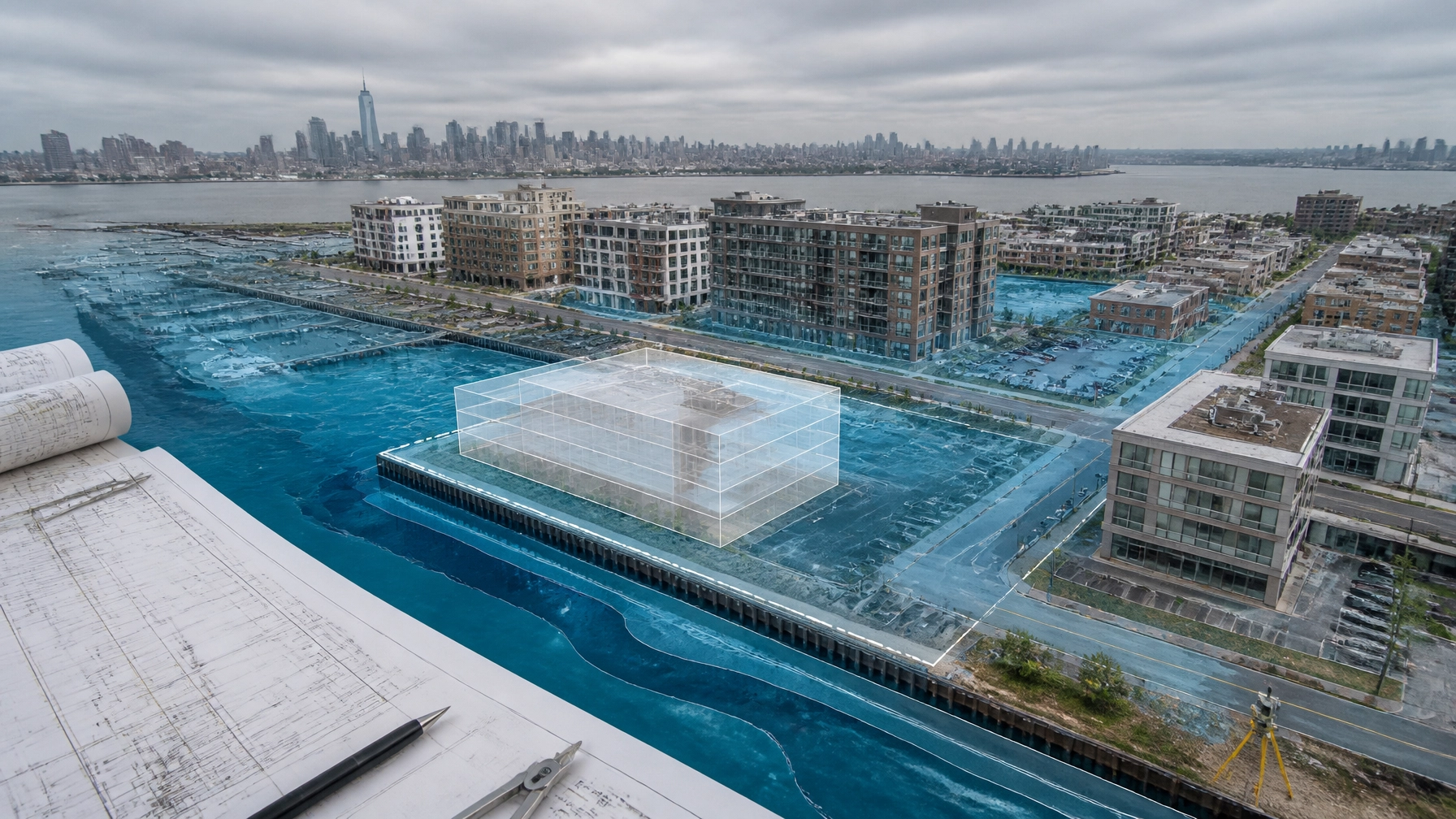
Start with the correct flood hazard area mapping
NJDEP distinguishes between tidal and fluvial flood hazard areas.
A tidal flood hazard area is governed primarily by coastal or tidal flooding. This is common along the Hudson River waterfront and other coastal waters near Jersey City, Hoboken, Bayonne, and Newark Bay.
A fluvial flood hazard area is governed primarily by stormwater runoff through a river, stream, or watercourse. Inland portions of Bergen and Essex Counties may fall into this category.
The application should identify:
- The regulated water or watercourse.
- Whether the site is tidal or fluvial.
- The flood hazard area limit.
- The floodway limit, if one exists.
- The flood fringe area.
- The applicable mapping or calculation method.
- The source and date of the flood elevation information.
NJDEP recognizes several methods for determining flood hazard area and floodway limits. These may rely on NJDEP delineations, FEMA mapping, approximate methods, or hydrologic and hydraulic calculations.
Do not assume FEMA mapping alone answers every NJDEP question. NJDEP may require a formal verification, particularly when the floodway or design flood elevation is not clear.
The agency’s Flood Hazard Areas resource page provides the current technical framework and links to the governing rules.

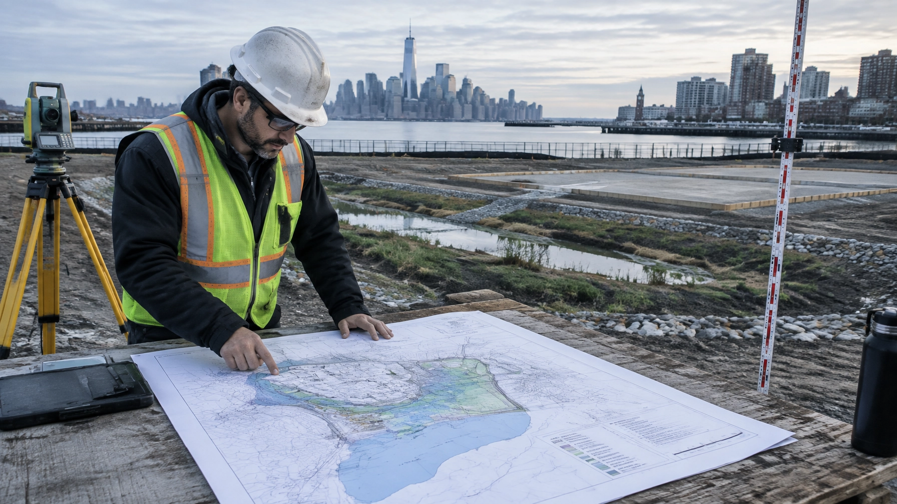
Survey and elevation data must agree
A technically complete application needs a reliable topographic and boundary survey. The survey should support both the civil plans and the flood analysis.
At minimum, coordinate the following:
- Property boundaries and easements.
- Existing buildings, pavement, walls, utilities, and drainage structures.
- Topographic contours across the site.
- Spot elevations at structures, roadways, curbs, bulkheads, and water features.
- Existing and proposed grades.
- Finished floor elevations.
- Lowest floor elevations.
- Flood design elevations across the site.
- Vertical datum and any conversion to the datum required by NJDEP.
- Cross-sections of regulated waters or structures used in the analysis.
An elevation mismatch between the survey, architectural plans, flood model, and permit forms is a common source of deficiency comments. For example, a proposed building may appear compliant on an architectural plan but fall below the required elevation once the survey datum is reconciled.
The application should make the elevation story easy to follow. NJDEP reviewers should not have to reconstruct it from disconnected drawings.
Floodway, fill, and grading require direct analysis
Floodway work receives closer scrutiny because the floodway carries a substantial portion of the flood flow. NJDEP generally restricts new buildings in the floodway, with limited exceptions such as certain Hudson River pile-supported structures.
A complete submittal should clearly show whether the project includes:
- Building construction or reconstruction.
- Fill placement.
- Excavation.
- Site grading.
- Retaining walls.
- Roads and parking areas.
- Utility installation.
- Outfalls or drainage improvements.
- Bulkhead or shoreline work.
- Temporary construction access.
- Soil stockpiles or staging areas.
If fill or grading displaces flood storage, the design should address that displacement. Depending on the site and activity, the application may need a pre-development and post-development storage analysis, compensatory storage calculations, or other measures that demonstrate no adverse off-site flooding impact.
The technical package should explain:
- How much fill the project places.
- Where fill is located relative to the flood hazard area and floodway.
- Whether excavation replaces lost storage volume.
- How the design affects water surface elevations.
- Whether the project creates a rise in flood elevations.
- How the design avoids redirecting water toward adjacent properties.

Building elevations need to be shown, not implied
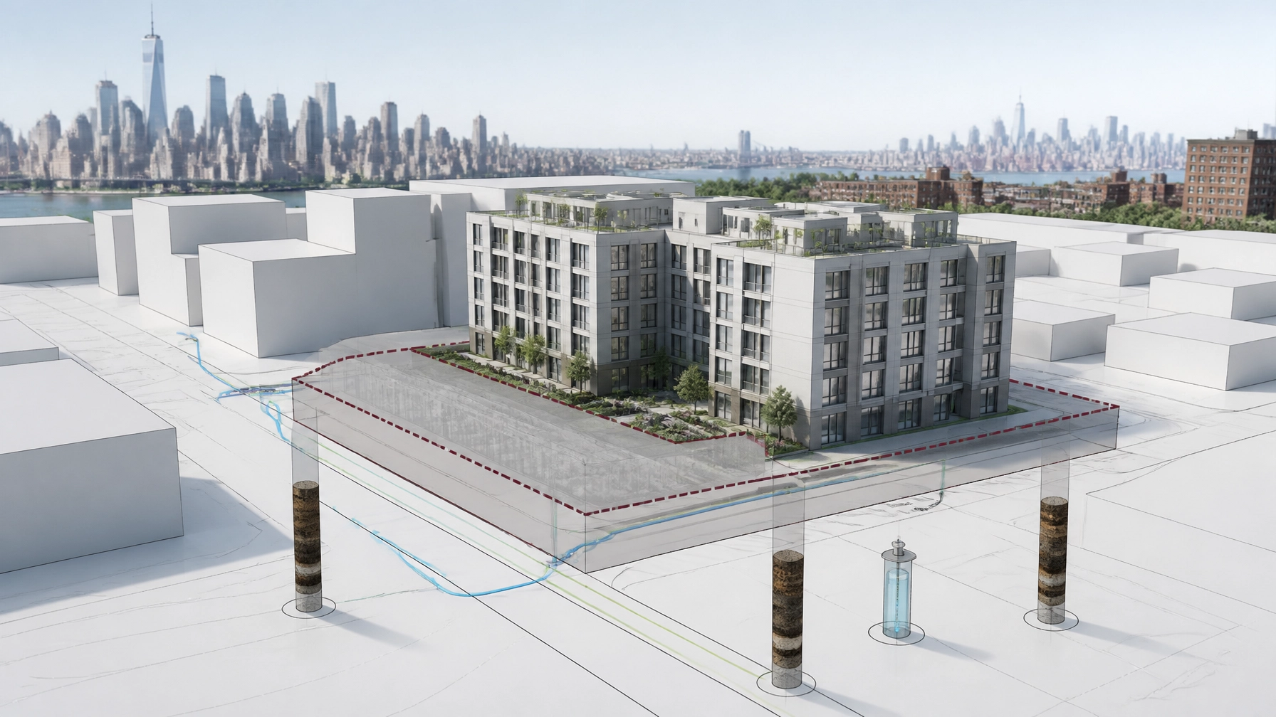
Flood-resistant design begins with the relationship between the proposed structure and the flood hazard area design flood elevation.
For flood fringe development, NJDEP generally expects new structures to have the lowest floor elevated at least one foot above the applicable design flood elevation, subject to the specific rule provisions and project conditions.
Plans should identify:
- The flood hazard area design flood elevation.
- The proposed lowest floor elevation.
- The elevation of utilities and mechanical equipment.
- The elevation of entrances and access routes.
- Foundation type and openings.
- Whether the building is supported on piers, piles, fill, or another system.
- How the design complies with the New Jersey Uniform Construction Code and applicable FEMA requirements.
A statement that the building will be “elevated” is not enough. The plans, survey, architectural set, and flood analysis must use the same elevations.
Riparian zones and resource interfaces
A flood permit application may also involve a regulated riparian zone. NJDEP identifies riparian zones that are generally:
- 300 feet along Category One waters and certain upstream tributaries.
- 150 feet along designated trout waters, certain threatened or endangered species habitat areas, and other sensitive waters.
- 50 feet along other regulated waters.
The width must be measured from the correct feature, such as the top of bank, centerline, normal water surface limit, or mean high water, depending on the waterbody.
The application should map:
- Riparian zone boundaries.
- Existing vegetation.
- Proposed vegetation disturbance.
- Limits of clearing and grading.
- Proposed revegetation or mitigation.
- Any required deed restriction or preservation area.
Flood hazard permitting rarely operates in isolation. Waterfront projects may also trigger review under:
- Freshwater Wetlands Protection Act rules.
- Coastal Zone Management rules.
- Stormwater Management rules.
- Soil erosion and sediment control requirements.
- Municipal floodplain regulations.
- Construction stormwater requirements.
- U.S. Army Corps of Engineers jurisdiction.
NJDEP specifically notes that floodway projects may overlap with wetlands, coastal, Highlands, and stormwater requirements. A complete application should identify those interfaces early instead of treating them as separate surprises.
Ownership, certifications, fees, and electronic submittal
Administrative completeness is just as important as engineering completeness.
Before electronic submittal, confirm:
- The correct applicant and property owner names.
- Proof of property control or authorization.
- Signed owner certifications.
- Professional engineer, land surveyor, architect, or other required certifications.
- Consistent tax lot, block, street address, and municipality information.
- Current application forms.
- Correct permit category.
- Required public notice documentation, where applicable.
- Correct application fee.
- Supporting approvals and related permits.
- Electronic file naming and document organization.
- Accessible PDFs with legible plans and signatures.
NJDEP’s flood hazard program uses DEP Online for certain authorizations, including general permit-by-certification applications. Other permit paths may require different electronic submission procedures. Confirm the current filing instructions before uploading.
A missing signature or incorrect fee can prevent the application from being logged properly. A missing hydraulic report can prevent technical review. Both problems cost time.

How to respond to a deficiency letter
A deficiency response should not become a document dump.
Start with a response matrix that lists:
- Each NJDEP comment.
- The responsible discipline.
- The revised sheet, calculation, or certification.
- The exact response.
- Any change to the project design.
- The date submitted.
Then update every affected document. If the grading plan changes, check the hydraulic model, stormwater report, erosion control plan, wetland limits, riparian mitigation, and architectural elevations.
NJDEP review becomes slower when one response fixes a plan but creates a contradiction elsewhere. One coordinated team should own the response from survey through civil design and agency communication.
The Envicon approach to NJ flood permit completeness
Envicon combines environmental permitting, civil engineering, geotechnical review, stormwater planning, and field coordination under one project team.
That matters for a NJDEP flood hazard permit in Jersey City or a NJ flood hazard area application in Hoboken because the permit package must work as one technical record. Our team can coordinate:
- Flood hazard area and floodway mapping.
- Topographic and elevation review.
- Civil site plans and grading.
- Flood storage and hydraulic analysis coordination.
- Riparian zone mapping.
- Wetlands, coastal, and stormwater interfaces.
- Ownership certifications and submission logistics.
- Deficiency responses and agency communication.
We work across Hudson, Bergen, and Essex Counties, including Jersey City, Hoboken, Bayonne, Newark, and surrounding waterfront communities. Our compliance and permitting team handles agency coordination. Our civil and geotechnical team connects the flood analysis to the design. Our Jersey City office supports local projects with direct senior-level access.
NJ flood hazard area permit completeness checklist
Before submission, confirm that your package includes:
- Correct permit type and rule version.
- Tidal or fluvial classification.
- NJDEP or FEMA mapping basis.
- Verified design flood elevation, when required.
- Floodway limit and determination method.
- Boundary and topographic survey.
- Vertical datum and elevation conversions.
- Existing and proposed contours.
- Fill, grading, excavation, and disturbance limits.
- Building and lowest floor elevations.
- Flood storage or compensatory storage analysis.
- Riparian zone limits and mitigation.
- Wetland and coastal permitting interfaces.
- Stormwater and erosion control documents.
- Ownership authorization and certifications.
- Correct fees and electronic submission documents.
- A coordinated deficiency response process.
The takeaway
For New Jersey waterfront development, submission is not the finish line. Completeness is the threshold that starts meaningful NJDEP review.
If your application does not clearly show where the flood hazard area is, how elevations were established, what the project changes, and why those changes comply, the review clock may not deliver the schedule protection you expect.
Envicon helps turn complex flood permitting into a clear path from survey to approval.
Request a Flood Permit Completeness Review
Request a flood permit completeness review
Call Envicon at (917) 764-2171
Use our proprietary project risk screener