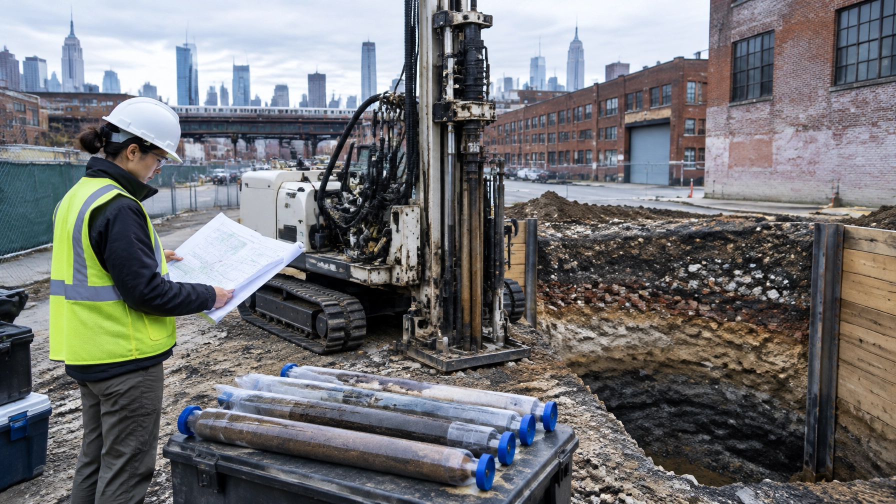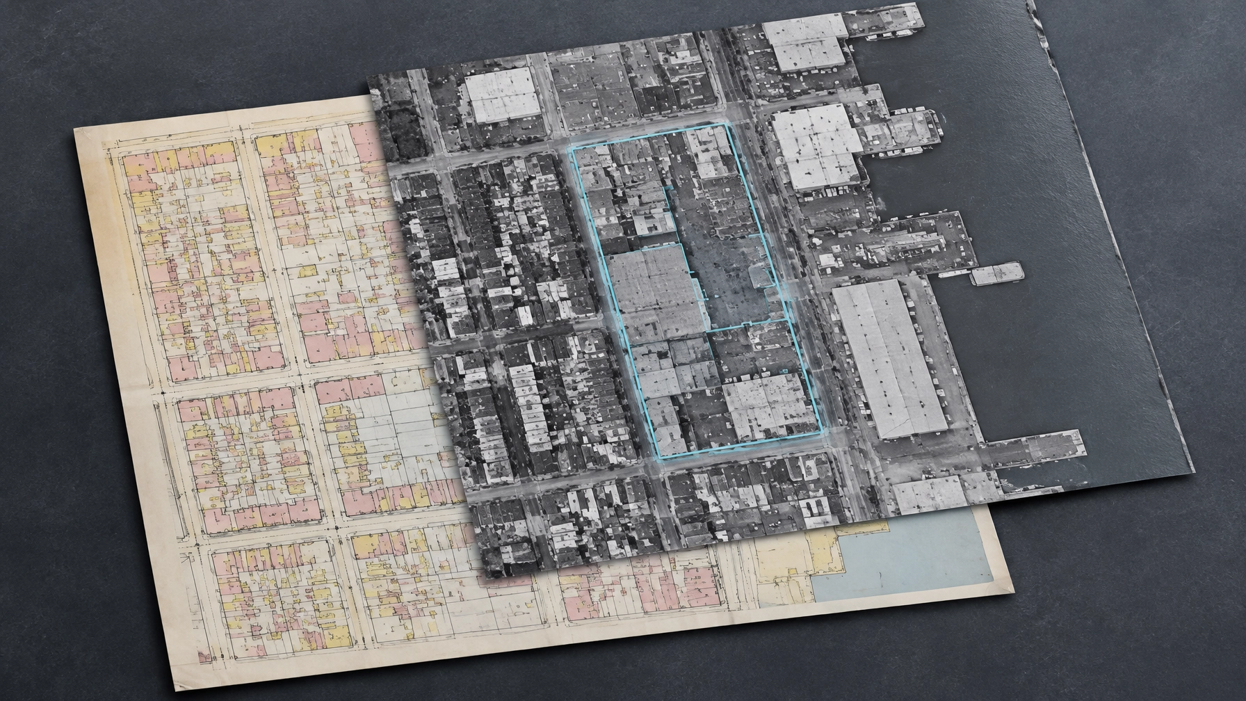
Aerials are useful. They are not a substitute for the rest of the historical record. Four aerial photographs from different years still represent one type of source. If a Phase I ESA relies on those images while omitting applicable Sanborn maps, city directories, or other reasonably available records, the history may be incomplete and the report may not give a lender or buyer the clear basis it needs.
That does not mean every project must have every record ever created. ASTM E1527-21 calls for professional judgment, attention to what is reasonably ascertainable, and clear documentation of significant gaps. The goal is to understand past uses well enough to assess whether they may have caused a recognized environmental condition, or REC.
What ASTM E1527-21 asks the environmental professional to review
ASTM E1527-21 is the current Phase I ESA standard recognized by EPA as consistent with the All Appropriate Inquiries rule under 40 CFR Part 312. It superseded E1527-13 for this use. A Phase I that supports AAI is more than a database search. It includes a records review, interviews, a site reconnaissance, and an environmental professional’s opinion. (ASTM E1527-21; EPA All Appropriate Inquiries)
For historical use, the standard identifies four key source categories. The environmental professional reviews them when they are applicable, useful, and reasonably ascertainable:
- Historical fire insurance maps, commonly Sanborn maps
- Historical aerial photographs
- Historical city directories
- Historical topographic maps
The review considers the subject property and adjoining properties. These sources answer different questions. A Sanborn map may show a building’s footprint and a labeled use. A city directory can identify a business or occupant. An aerial can reveal when a structure, tank, or disturbed area appeared. A topographic map can help establish historical site conditions and landform.
Other records may also help establish use, including property tax files, building department records, zoning records, and USGS information. The environmental professional uses judgment to decide which records are useful and reasonably available for the property and question at hand.

Four source categories do not mean four documents
A common shortcut is to count records instead of evaluating sources. Four aerial photographs taken in different years are four documents, but they are one type of historical source. They cannot tell you everything a Sanborn map, city directory, or building record might show.
The right question is not, “Did the report include four old records?” It is, “Did the environmental professional review the relevant source categories and build a supported history of the property and adjoining uses?”
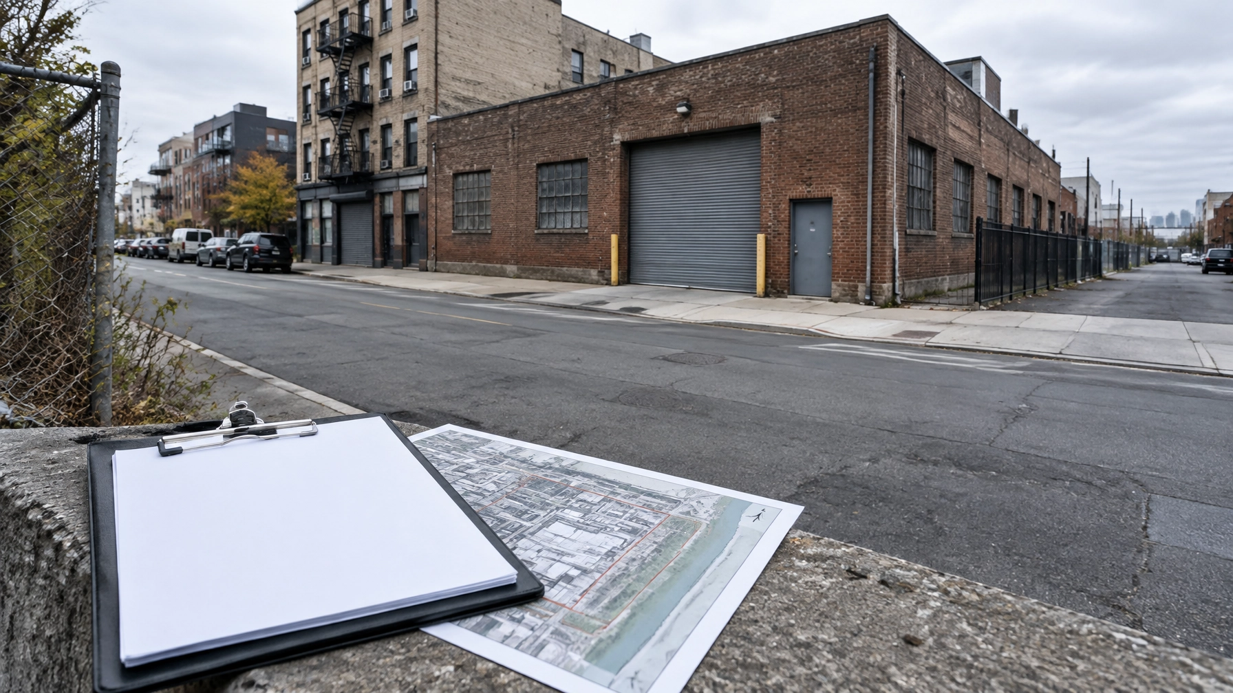
Consider a Queens parcel with a current warehouse, an older industrial history, and commercial uses across the street. Aerials may show when buildings appeared and disappeared. But if a nearby operation could have involved dry cleaning, metal plating, fuel storage, or another activity with environmental implications, aerials alone may not identify what took place. A directory, map, building record, or other credible source could add the missing detail.
A report with four aerials and no Sanborn map is not automatically noncompliant. The Sanborn source may not exist for the area, may not cover the relevant period, or may not be reasonably accessible. But if it is applicable and reasonably ascertainable, the report should explain why it was not reviewed. If the report simply omits it without explanation, a lender or reviewer has a reasonable question: what was checked, and what remains unknown?
NYC and New Jersey records: same standard, different records trail
ASTM E1527-21 does not create separate source lists for Queens and Newark. The core historical review remains the same. What changes is where useful records may be found and which local history needs closer attention.
In Queens, dense development and repeated changes in land use can make multiple records important. A Long Island City or Astoria parcel may have a history that spans industrial, commercial, and residential uses. For a Queens Phase I ESA, we look for records that help establish the property’s use over time, then compare that history with adjoining properties and relevant agency information. NYC project requirements can vary by program or transaction, so confirm any additional scope requirements with the lender, agency, or counsel. See our Phase I ESA services, Queens location page, and NYC environmental consulting hub.
New Jersey projects need a separate distinction. An ASTM Phase I ESA may support federal AAI and transaction due diligence, but it does not automatically replace a New Jersey Preliminary Assessment when a state site-remediation obligation applies. Confirm the required state scope for the property and transaction. The New Jersey site remediation rules set out requirements under N.J.A.C. 7:26E. For environmental due diligence for developers in NJ, determine early whether the deal calls for an ASTM Phase I, a state Preliminary Assessment, or both.

How a defensible report handles gaps
Records research has limits. A map series may not cover the site. A municipal file may be unavailable or incomplete. An online archive may show only selected years. A gap is not automatically a failure, but ignoring one can make the report harder to rely on.
A sound report should identify significant gaps that affect the environmental professional’s ability to assess the property. It should describe the missing information and explain why the source could not be reviewed or was not reasonably ascertainable. If the available records leave a specific past use unresolved, the environmental professional should consider whether another reasonably available source could clarify it.
That judgment matters. A missing record about a property with a documented industrial history may carry more weight than a missing record where other sources consistently show a low-risk use. A reader should be able to follow the reasoning from records reviewed to the REC opinion, rather than being left to guess what the gaps mean.
Environmental liens and activity/use limitations need attention too
Historical-use records are only part of the review. AAI also addresses environmental liens and activity/use limitations, sometimes called AULs. These may include recorded restrictions, institutional controls, environmental easements, or engineering controls that affect how a property can be used.
The prospective purchaser or user has responsibilities under AAI. A Phase I engagement should make clear who will obtain relevant title information and search for liens and AULs. Do not assume a standard environmental report includes a complete title search. Confirm the scope, records searched, and any limitations with the environmental professional, title provider, and counsel. EPA outlines the AAI process and user responsibilities in its AAI guidance.
What this means for Phase I ESA cost
A better historical review does not mean ordering every possible archive for every parcel. It means scoping the records to the property’s location, history, transaction needs, and available sources. Site complexity, record availability, adjoining uses, and deadline can all affect the effort involved and the Phase I ESA cost.
If a quote seems unusually low, ask what historical sources it includes, how the team will document unavailable records, and whether the report will address environmental liens and AULs or treat those as a separate user task. A fixed fee is useful only when the scope is clear.
Envicon’s Phase I work supports due diligence, financing, and acquisition. We identify the records reviewed, explain material gaps, and connect findings to practical next steps. You should know what the report says, what it does not say, and what that means for your deal.
Questions buyers and lenders ask
Does ASTM E1527-21 require every listed historical source?
No. The environmental professional reviews applicable, useful, reasonably ascertainable sources. If a relevant source is not reviewed because it is unavailable or otherwise not reasonably ascertainable, the report should document the limitation and its significance.
Are four aerial photographs enough to satisfy the historical review?
Not by themselves. Multiple aerials are still one source category. The environmental professional should also consider the other relevant historical source categories and explain any material omissions.
Does a Phase I ESA include an environmental lien search?
AAI addresses environmental liens and activity/use limitations, but the prospective purchaser or user has specific responsibilities. Confirm who will perform the search and what records it covers. Do not assume the environmental professional’s standard scope includes a title search.
Does a Phase I ESA in New Jersey replace a Preliminary Assessment?
Not automatically. An ASTM Phase I and an NJDEP Preliminary Assessment serve different purposes. Confirm state site-remediation requirements for the property and transaction.
The takeaway
Four records are not a substitute for sound records review. Four aerial photographs cannot tell the whole history of a Queens property, and a missing Sanborn map should be explained, not silently skipped. The right Phase I uses relevant sources, documents limitations, and gives the buyer, lender, and counsel a clear path from evidence to decision.
SEO publishing metadata
Talk with Envicon about your Phase I ESA
If you are acquiring, financing, or evaluating a Queens property, we can scope the records review around the site and your transaction timeline. We also support environmental due diligence for developers in Newark and across New Jersey.