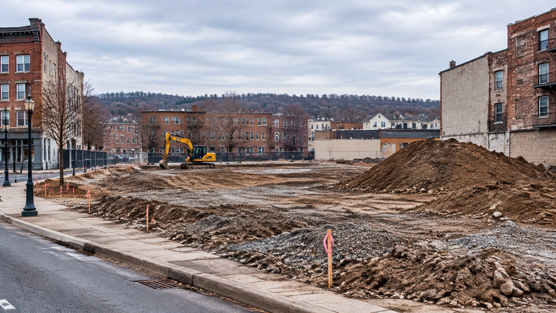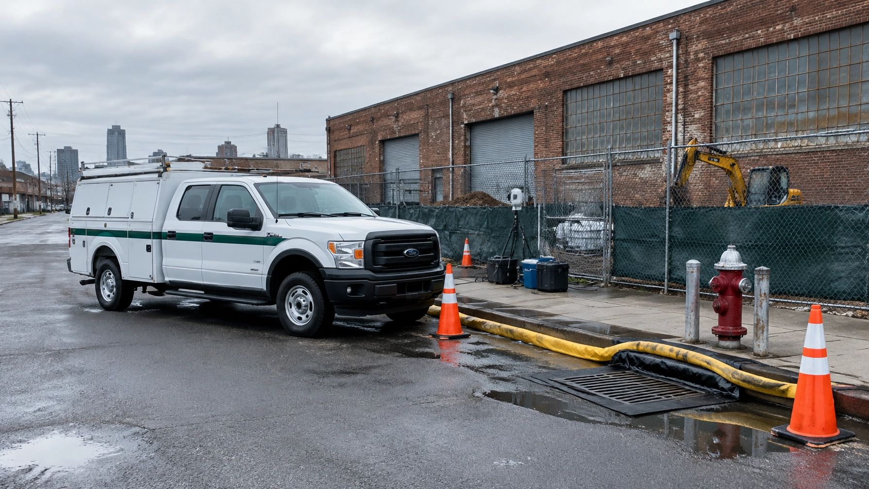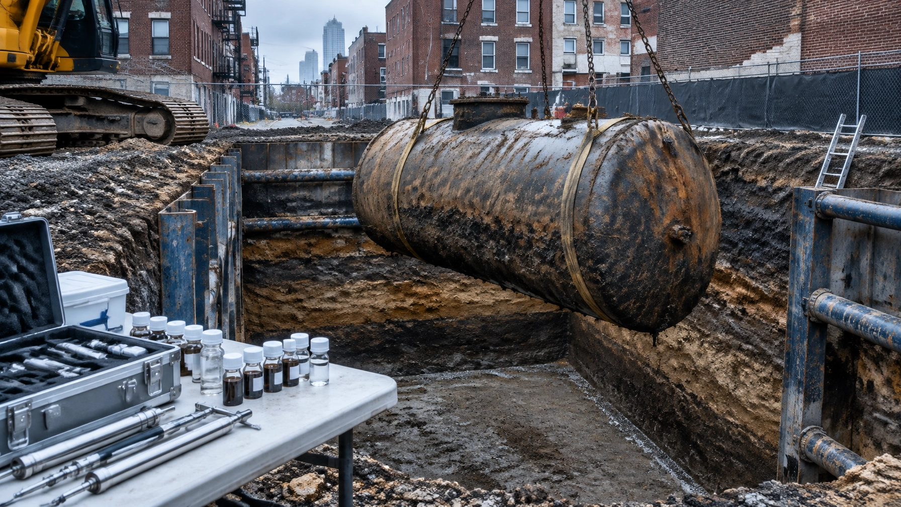
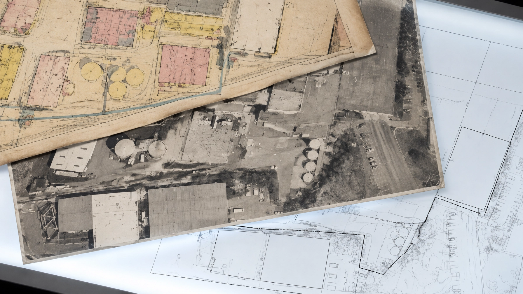
In a Queens infill deal, the parcel’s past can change the investigation you need before construction starts. A former dry cleaner, fuel station, metal shop, or filled lot may lead to a targeted Phase II recommendation. But a historical use alone does not automatically prove contamination or require sampling.
Under ASTM E1527-21, historical research helps the environmental professional assess whether past and current conditions indicate a recognized environmental condition (REC). The key is not just finding old records. It’s connecting them to the property, evaluating what they show, and explaining how any uncertainty affects the conclusion.
How ASTM E1527-21 uses historical records
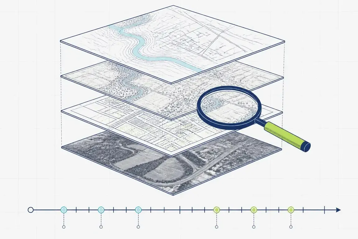
Historical sources help reconstruct the subject property’s use over time and identify potentially relevant uses on adjoining properties. The review generally reaches back to the property’s first developed use or 1940, whichever is earlier, using information that is reasonably ascertainable and likely to be useful.
The standard’s core historical sources are:
- Fire insurance maps, including Sanborn maps
- City or street directories
- Aerial photographs
- Topographic maps
Each source answers a different question. A Sanborn map may show what occupied a building. A directory may identify a business at a particular address. Aerial photographs can show when buildings or paved areas appeared or disappeared. Topographic maps can help reveal changes in landform, drainage, or shoreline.
No single source provides the whole history. We compare records across years, check them against the property’s current layout, and look for patterns that warrant closer review.
What each source can tell you
Sanborn maps: what occupied the building?
Sanborn fire insurance maps document building footprints, construction details, and many commercial and industrial uses. Depending on the map and year, they may show features such as workshops, tanks, or other site details relevant to a property’s history.
For a Queens infill site, a map may help distinguish a former residential use from a garage, factory, or other commercial operation. It can also flag an adjoining use that deserves follow-up. But map symbols and labels are clues, not proof of a release.
The New York Public Library’s maps guide is a useful starting point for historic fire insurance and property maps. Coverage varies, so the environmental professional should record which map years were available and reviewed.
City directories: who operated there?
Directories can connect addresses with businesses and occupants. That matters when map coverage is incomplete or a building’s use is not obvious.
Address changes, renumbering, and inconsistent business names can complicate the search. We compare directory entries with map years, parcel location, and other records rather than treating a name match as conclusive. NYC’s historical records holdings provide information about available city-directory collections.
Aerial photographs: what changed on the ground?
Aerials can reveal structures, paved yards, storage areas, demolition, and changes to the site boundary or nearby land. A sequence of photographs is more useful than a single image because it helps show when changes occurred.
For New York City, NYC Map Tiles provides information about available city orthophotography, and the Municipal Archives has extensive historical photographs, including city tax photographs. Aerials may suggest a former use or fill activity, but they usually cannot identify what materials were handled or whether a release occurred.

Topographic maps: how did the land change?
Historic topo sheets show terrain, drainage patterns, and features such as shorelines. They can help identify major changes in landform or provide context for a site that may have been filled or regraded.
They’re not a substitute for parcel-level records or sampling. Their value is in the wider setting: understanding how the property fits into the surrounding landscape and whether historic conditions affect the environmental review.
Municipal and agency records: what else is in the file?
Building, tax, fire, zoning, tank, and environmental records may clarify what maps and directories leave uncertain. For Queens, a parcel search should use the correct address and borough-block-lot (BBL) where possible. NYC’s ZoLa land-use map can help confirm current zoning and parcel context. The NYSDEC environmental site database is another source for state cleanup and spill records.
A record search can identify leads, but a database result is not itself a REC determination. The environmental professional evaluates the source, distance, status, and potential pathway to the property.
When a finding changes the Phase II scope
Historical findings affect Phase II planning when the evidence points to a plausible release or migration pathway that the Phase I cannot resolve. Common Queens infill triggers include:
- A former dry cleaner or solvent-using business: may prompt evaluation of volatile organic compounds (VOCs) in soil, groundwater, or soil vapor, depending on the site setting and available evidence.
- A former gas station, vehicle service use, or tank record: may focus attention on petroleum constituents and the likely location of tanks or dispensing areas.
- Manufacturing, metalworking, or printing: may lead the team to consider process-related chemicals, waste handling, and areas where materials were stored or used.
- Historic fill or land alteration: may raise questions about fill composition and whether soil characterization is needed before excavation or disposal.
- A potentially relevant adjoining use: may warrant evaluating whether a release could have migrated onto the property.
These are investigation leads, not automatic findings. The Phase I’s purpose is to make a reasoned recommendation based on the evidence. If a REC warrants further investigation, the Phase II scope should connect the suspected source to specific sampling locations, media, and analytes. A generic sampling plan can miss the question that the historical record actually raises.
On a tight Queens schedule, that distinction matters. If the Phase I identifies a credible concern, the project team may need to coordinate targeted soil, groundwater, or soil-vapor work with design, access, and construction planning. The right scope is site-specific.
What counts as a data gap?
A data gap is missing information that remains unavailable despite a good-faith effort to obtain it. For example, a relevant directory year may not exist, a map may not cover the parcel, or municipal records may be incomplete.
Not every missing document is a significant limitation. The report should explain what could not be obtained, why, and whether the gap affects the environmental professional’s ability to identify RECs. Under EPA’s All Appropriate Inquiries guidance, significant data gaps that affect that ability must be identified and discussed in the written report.
The practical question is whether the missing information leaves a meaningful uncertainty about the property’s history or a potential release. If available sources otherwise establish the relevant use and period, an unavailable record may not change the conclusion. If the gap prevents a reasonable determination, the report should say so and explain the limitation. It should not quietly treat an incomplete history as a clean history.
HREC versus de minimis: not the same conclusion
A historical recognized environmental condition (HREC) is a past release that has been addressed to the satisfaction of the applicable regulatory authority and meets unrestricted-use criteria, without required activity or use limitations or other controls. The report should document why the condition qualifies.
If a release has been addressed but the property remains subject to controls or restrictions, it may be a controlled REC, not an HREC. The controls matter to future use, excavation, and project planning.
A de minimis condition is different. It generally does not pose a threat to human health or the environment and would not be expected to lead to enforcement if brought to the regulator’s attention. A de minimis condition is not a REC.
In short: an HREC describes a past release with a documented regulatory resolution and unrestricted-use status. A de minimis condition is a minor condition that does not meet the REC threshold. Neither label should be used as shorthand for “nothing to worry about” without explaining the basis.
What to check before ordering a Phase I ESA in Queens
A clear scope starts with a reliable property identifier and a direct conversation about the transaction, lender, and deadline. Before the review begins, gather:
- The property address and BBL, if available
- Prior environmental reports and cleanup records
- Known tenant, owner, or operator information
- Any plans, surveys, or proposed construction details that affect the site area
Then make sure the report connects the historical evidence to findings, data gaps, and next steps. Envicon’s environmental assessment team reviews historical sources as part of ASTM E1527-21 Phase I work. Our Queens team works across the borough’s changing industrial and mixed-use areas, and our NYC environmental consulting hub outlines our wider local capabilities.
For a planning reference, Envicon’s Queens page lists a typical NYC commercial Phase I ESA range of $2,640–$5,625. That is not a quote; the property, scope, records, and schedule affect the final price. When comparing Phase I ESA cost in NYC, compare what the assessment covers and how clearly the report supports the next decision, not only the fee.
The takeaway
Sanborn maps, directories, aerials, topo sheets, and municipal records are pieces of evidence. ASTM E1527-21 calls for a reasoned assessment of those sources, a clear discussion of data gaps, and a defensible conclusion about RECs. On a Queens infill site, that work can reveal when the investigation needs to move from historical review to targeted sampling.
The goal is not to order the largest scope by default. It’s to understand what the record shows, resolve the uncertainty that matters, and keep the project moving with a path you can defend.